Tynwald, Douglas
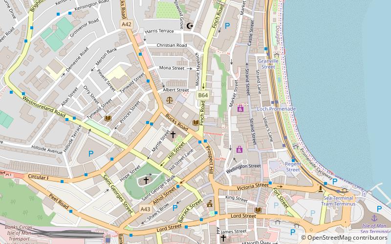
Map
Facts and practical information
Tynwald, or more formally, the High Court of Tynwald or Tynwald Court, is the legislature of the Isle of Man. It consists of two chambers, known as the branches of Tynwald: the directly elected House of Keys and the indirectly chosen Legislative Council. When the two chambers sit together, they become "Tynwald Court". ()
Getting there by public transportation
Public transportation stops near this location
- Bus
- Tram
- Light rail
- Train
 Bus
Bus
- Calculate routeLoch Promenade 4 min walk
- Calculate routeGranville Street 5 min walk
- Calculate routeLoch Promenade 4 min walk
- Calculate routeVictoria Street 5 min walk
- Calculate routeNational Sports Centre Layby 25 min walk
- Calculate routeGroves Road / National Sports Centre 25 min walk
- Calculate routeDouglas Railway Station 7 min walk
- Calculate routeDerby Castle Terminus 36 min walk
- Calculate routeDerby Castle Depôt 38 min walk
- Calculate routePort Jack 42 min walk
- Calculate routeDerby Castle M.E.R. Station 36 min walk
- Calculate routePort Jack 42 min walk
Day trips


Frequently Asked Questions (FAQ)
Which popular attractions are close to Tynwald?
Nearby attractions include St. Mary of the Isle Church, Douglas (2 min walk), Mobile Family Library, Douglas (4 min walk), Manx Museum, Douglas (7 min walk), Gaiety Theatre, Douglas (9 min walk).
How to get to Tynwald by public transport?
The nearest stations to Tynwald:
Tram
Bus
Train
Light rail
Tram
- Loch Promenade • Lines: Douglas Horse Tramway (4 min walk)
- Granville Street • Lines: Douglas Horse Tramway (5 min walk)
Bus
- Loch Promenade • Lines: 1 (4 min walk)
- Victoria Street • Lines: 1 (5 min walk)
Train
- Douglas Railway Station (7 min walk)
- Derby Castle Terminus (36 min walk)
Light rail
- Derby Castle M.E.R. Station • Lines: Manx Electric Railway (36 min walk)
- Port Jack • Lines: Manx Electric Railway (42 min walk)