St Mary’s Church, Birmingham
Map

Map

Facts and practical information
St Mary's Church is a Roman Catholic parish church in Harborne, Birmingham. It is situated on Vivian Road next to St Mary's Primary School. It was founded by the Passionists in 1875 and is currently served by the Augustinians. ()
Coordinates: 52°25'26"N, 1°55'32"W
Day trips
St Mary’s Church – popular in the area (distance from the attraction)
Nearby attractions include: Cadbury World, Lifford Reservoir, St Nicolas Church, Woodbrooke.
Frequently Asked Questions (FAQ)
Which popular attractions are close to St Mary’s Church?
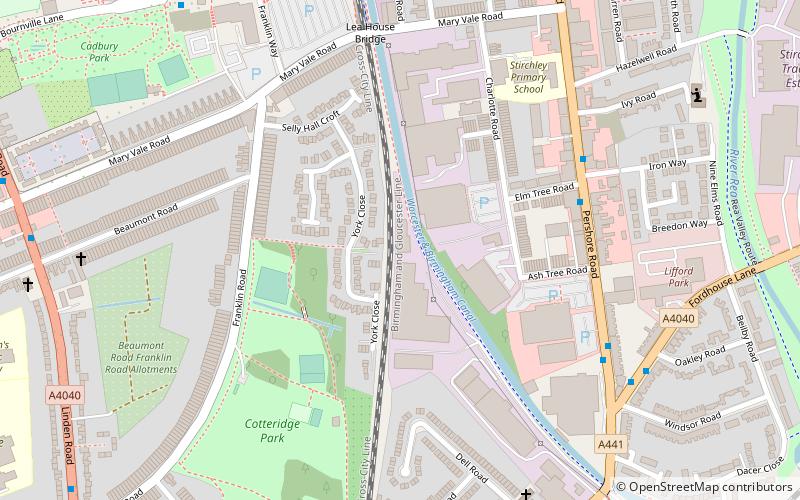
Nearby attractions include Cotteridge Park, Birmingham (6 min walk), Cadbury World, Birmingham (13 min walk), St Francis of Assisi's Church, Birmingham (14 min walk), Bournville, Birmingham (16 min walk).
How to get to St Mary’s Church by public transport?
The nearest stations to St Mary’s Church:
Train
Bus
Train
- Bournville (7 min walk)
- Kings Norton (19 min walk)
Bus
- Ch • Lines: 19 (14 min walk)
- Cf • Lines: 19 (14 min walk)


