Holyhead Mountain, Holy Island
Map

Map

Facts and practical information
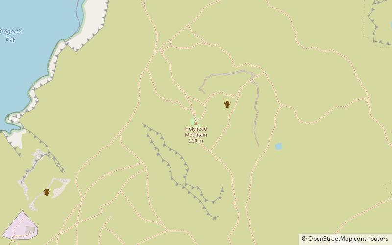
Holyhead Mountain is the highest mountain on Holy Island, Anglesey, and the highest in the county of Anglesey, north Wales. It lies about two miles west of the town of Holyhead, and slopes steeply down to the Irish Sea on two sides. Ireland can be seen from here on a clear day and the mountain is an important site for seabirds. ()
Address
Holy Island
ContactAdd
Social media
Add
Day trips
Holyhead Mountain – popular in the area (distance from the attraction)
Nearby attractions include: South Stack Lighthouse, Holyhead Mountain Hut Circles, Caer y Twr, Penrhos Feilw Standing Stones.
Frequently Asked Questions (FAQ)
Which popular attractions are close to Holyhead Mountain?
Nearby attractions include Caer y Twr, Holy Island (2 min walk), Holyhead Mountain Hut Circles, Holyhead (19 min walk).


