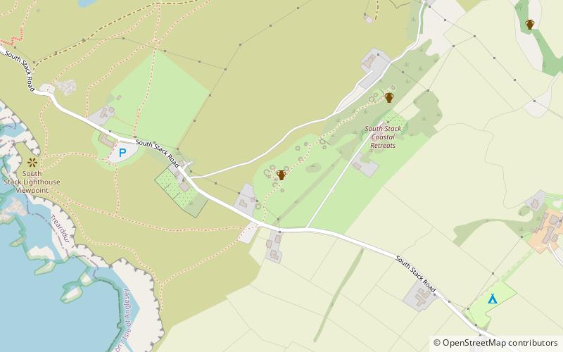
Holyhead Mountain Hut Circles, Holyhead
Map

Map

Facts and practical information
The Holyhead Mountain Hut Circles, also known as 'Tŷ Mawr Hut Circles', Cytiau'r Gwyddelod or the 'Irishmen's Huts', are the remains of a group of Celtic Iron Age huts near Trearddur on Holy Island, Anglesey, Wales. The site is under the care of Cadw and can be visited all year round. The construction of these huts are very similar to those at Din Lligwy, having thick stone walls. ()
Elevation: 299 ft a.s.l.Coordinates: 53°18'16"N, 4°41'9"W
Day trips
Holyhead Mountain Hut Circles – popular in the area (distance from the attraction)
Nearby attractions include: South Stack Lighthouse, Holyhead Mountain, Caer y Twr, Penrhos Feilw Standing Stones.
Frequently Asked Questions (FAQ)
Which popular attractions are close to Holyhead Mountain Hut Circles?
Nearby attractions include South Stack Lighthouse, South Stack (16 min walk), Holyhead Mountain, Holy Island (19 min walk), Caer y Twr, Holy Island (21 min walk).


