Caer y Twr, Holy Island

Gallery (1)
Map
Map
Facts and practical information
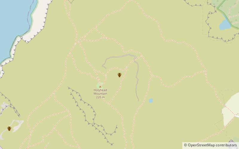
Caer y Twr is an Iron Age hillfort atop the summit of the Holyhead Mountain in Anglesey, Wales. ()
Coordinates: 53°18'50"N, 4°40'27"W
Address
Holy Island
ContactAdd
Social media
Add
Day trips


Frequently Asked Questions (FAQ)
Which popular attractions are close to Caer y Twr?
Nearby attractions include Holyhead Mountain, Holy Island (2 min walk), Holyhead Mountain Hut Circles, Holyhead (21 min walk).