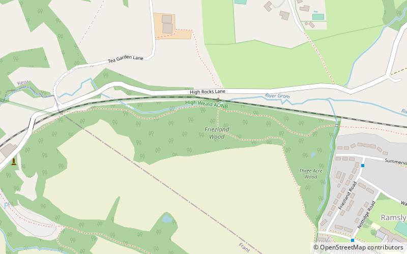
Friezland Wood, Tunbridge Wells
Map

Map

Facts and practical information
Friezland Wood is a woodland in Kent, England, near Tunbridge Wells. It covers a total area of 7.69 hectares. It is owned and managed by the Woodland Trust. ()
Coordinates: 51°7'24"N, 0°14'1"E
Address
Tunbridge Wells
ContactAdd
Social media
Add
Day trips
Friezland Wood – popular in the area (distance from the attraction)
Nearby attractions include: High Rocks, Church of King Charles the Martyr, Trinity Theatre, St Paul's Church.
Frequently Asked Questions (FAQ)
How to get to Friezland Wood by public transport?
The nearest stations to Friezland Wood:
Train
Bus
Train
- High Rocks (11 min walk)
- Tunbridge Wells West (21 min walk)
Bus
- Summervale Road • Lines: 28, 29, 29X (16 min walk)
- Broadwater Down West • Lines: 28, 29, 29X (16 min walk)


