Levers Water
Map

Map

Facts and practical information
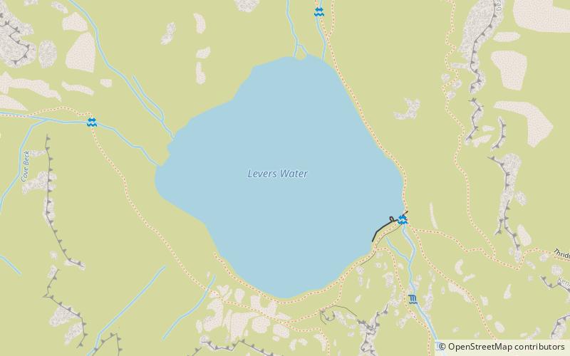
Levers Water is a small lake in the English Lake District. It is located at the head of the Coppermines Valley, above Coniston village. To its south-west is Raven Tor, a spur of Brim Fell, and to its north-west are Little How Crags and Great How Crags, on the eastern side of the north–south ridge leading to Swirl How. ()
Average depth: 26 ftElevation: 1352 ft a.s.l.Coordinates: 54°23'3"N, 3°6'41"W
Location
England
ContactAdd
Social media
Add
Day trips
Levers Water – popular in the area (distance from the attraction)
Nearby attractions include: Dow Crag, Goat's Water, Old Man of Coniston, Brim Fell.


