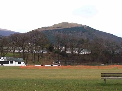
Clough Head, Lake District National Park
Map
Gallery
Facts and practical information
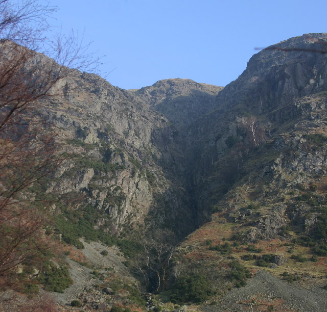
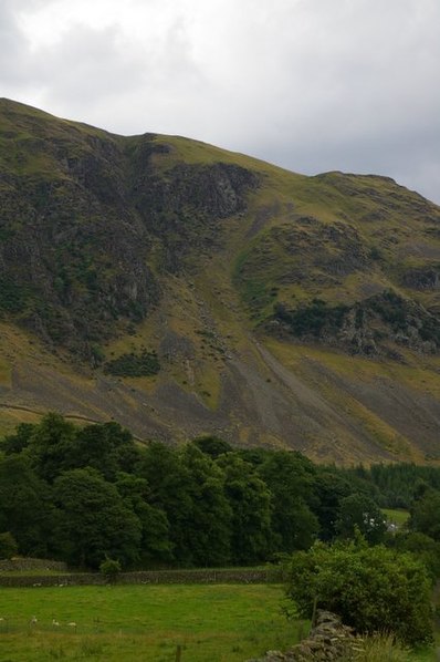
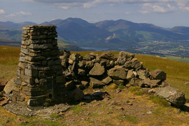
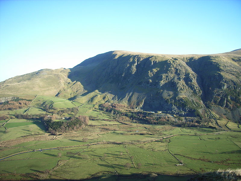
Clough Head is a fell, or hill, in the English Lake District. It marks the northern end of the main ridge of the Helvellyn range and is often walked as part of the ridge walk. The fell stands south of the village of Threlkeld and the A66 road, and it forms the steep eastern side of the tranquil valley of St John's in the Vale. ()
Elevation: 2382 ftProminence: 354 ftCoordinates: 54°35'37"N, 3°1'56"W
Address
Lake District National Park
ContactAdd
Social media
Add
Day trips
Clough Head – popular in the area (distance from the attraction)
Nearby attractions include: Castlerigg Stone Circle, Raise, Land's End to John o' Groats, Threlkeld Quarry and Mining Museum.
Frequently Asked Questions (FAQ)
How to get to Clough Head by public transport?
The nearest stations to Clough Head:
Train
Train
- Threlkeld Quarry (29 min walk)


