Admiralty M-N Scheme, Brighton
Map

Map

Facts and practical information
'The Admiralty M-N Scheme' was a World War I British plan to close the Strait of Dover in the English Channel to German U-boats, by means of a chain of either eight or twelve massive towers linked by anti-submarine booms and nets. Only two towers had been constructed before the Armistice with Germany caused the cancellation of the project. ()
Coordinates: 50°50'10"N, 0°14'20"W
Address
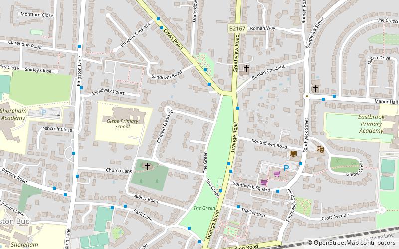
Southwick (Southwick Green)Brighton
ContactAdd
Social media
Add
Day trips
Admiralty M-N Scheme – popular in the area (distance from the attraction)
Nearby attractions include: Shoreham Fort, Town Hall, St Nicolas Church, St Julian's Church.
Frequently Asked Questions (FAQ)
Which popular attractions are close to Admiralty M-N Scheme?
Nearby attractions include St Michael and All Angels Church, Brighton (4 min walk), St Julian's Church, Brighton (10 min walk), Shoreham Fort, Shoreham-by-Sea (20 min walk).
How to get to Admiralty M-N Scheme by public transport?
The nearest stations to Admiralty M-N Scheme:
Bus
Train
Bus
- Southwick Green • Lines: 46, 60 (4 min walk)
- The Twitten • Lines: 46, 60 (5 min walk)
Train
- Southwick (7 min walk)
- Fishersgate (22 min walk)


