Southwick Ship Canal, Brighton
Map

Map

Facts and practical information
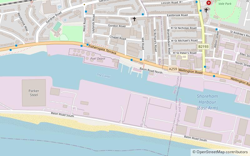
The Southwick Ship Canal or Southwick Canal is a canal in Southwick, West Sussex that branches off from the estuary of the River Adur near Hove. The canal is 1.75 miles in length, running east–west and parallel with the shoreline, providing facilities to the port of Shoreham. The canal was once the river channel, but the mouth of the river has been moved further to the west, enabling its former bed to be used for the canal. ()
Length: 9240 ftCoordinates: 50°49'49"N, 0°13'9"W
Address
Southwick (Eastbrook)Brighton
ContactAdd
Social media
Add
Day trips
Southwick Ship Canal – popular in the area (distance from the attraction)
Nearby attractions include: Town Hall, St Nicolas Church, St Julian's Church, St Michael and All Angels Church.
Frequently Asked Questions (FAQ)
Which popular attractions are close to Southwick Ship Canal?
Nearby attractions include Aldrington, Brighton (11 min walk), Shri Swaminarayan Mandir, Brighton (13 min walk), Town Hall, Brighton (17 min walk), St Leonard's Church, Brighton (18 min walk).
How to get to Southwick Ship Canal by public transport?
The nearest stations to Southwick Ship Canal:
Bus
Train
Bus
- Kings Head • Lines: 700 (2 min walk)
- The Albion PH • Lines: 700 (5 min walk)
Train
- Fishersgate (8 min walk)
- Portslade (19 min walk)


