Stickle Tarn, Elterwater
Map

Map

Facts and practical information
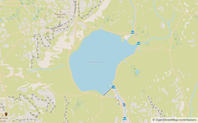
Stickle Tarn is a small tarn near Harrison Stickle in Lake District, England. The tarn was enlarged by the building of a stone dam in 1838 and is used to supply water for the inhabitants of Langdale. The tarn is situated in a corrie, flanked on the west side by Harrison Stickle, and on the north by the massive imposing bulk of Pavey Ark's south face. The tarn is frequently visited by fellwalkers ascending to Pavey Ark's summit, or en route to High Raise from Great Langdale. ()
Area: 20.76 acres (0.0324 mi²)Maximum depth: 50 ftElevation: 1549 ft a.s.l.Coordinates: 54°27'34"N, 3°6'4"W
Address
Elterwater
ContactAdd
Social media
Add
Day trips
Stickle Tarn – popular in the area (distance from the attraction)
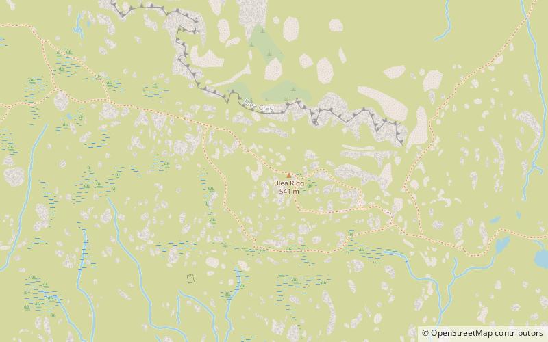
Nearby attractions include: Pavey Ark, Loft Crag, Blea Rigg, Pike of Stickle.
Frequently Asked Questions (FAQ)
Which popular attractions are close to Stickle Tarn?
Nearby attractions include Thunacar Knott, Grasmere (13 min walk), Sergeant Man, Grasmere (20 min walk), Blea Rigg, Elterwater (22 min walk), Pike of Stickle, Lake District National Park (22 min walk).
How to get to Stickle Tarn by public transport?
The nearest stations to Stickle Tarn:
Bus
Bus
- Old Dungeon Ghyll Hotel • Lines: 516 (27 min walk)


