Blea Rigg, Elterwater
Map
Facts and practical information
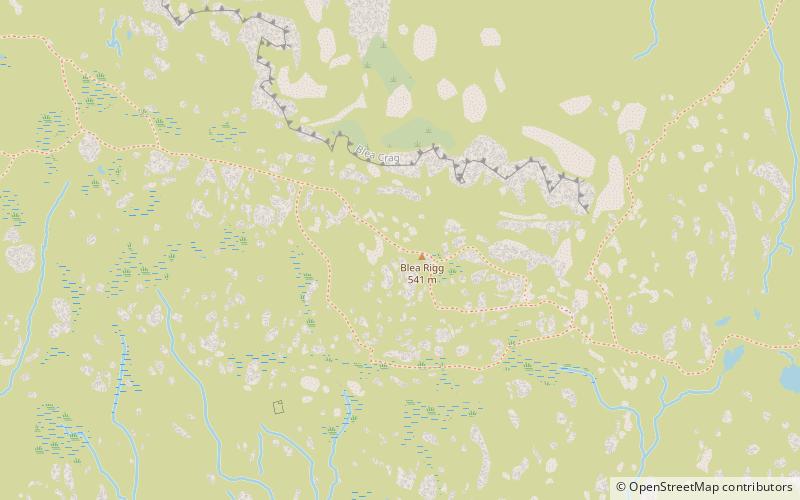
Blea Rigg is a fell in the English Lake District, lying between the valleys of Easedale and Great Langdale. One of the Central Fells, it is a broad plateau with a succession of rocky tops. Many routes of ascent are possible, beginning either from Grasmere or Great Langdale, though the paths are often poorly marked and hard to follow. ()
Elevation: 1775 ftProminence: 66 ftCoordinates: 54°27'40"N, 3°4'50"W
Address
Elterwater
ContactAdd
Social media
Add
Getting there by public transportation
Public transportation stops near this location
- Bus
 Bus
Bus
- Calculate routeOld Dungeon Ghyll Hotel 38 min walk
Day trips


Frequently Asked Questions (FAQ)
Which popular attractions are close to Blea Rigg?
Nearby attractions include Easedale Tarn, Grasmere (19 min walk), Stickle Tarn, Elterwater (22 min walk), Great Langdale, Elterwater (23 min walk), Tarn Crag, Grasmere (23 min walk).
How to get to Blea Rigg by public transport?
The nearest stations to Blea Rigg:
Bus
Bus
- Old Dungeon Ghyll Hotel • Lines: 516 (38 min walk)