Bradfield Dale, Peak District


Facts and practical information
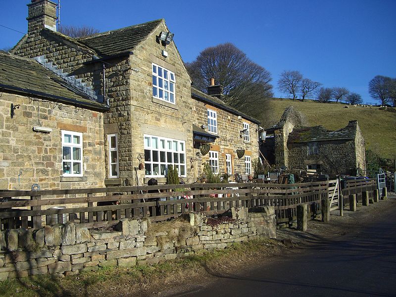
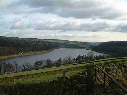
Bradfield Dale is a rural valley 12 kilometres west-northwest of the City of Sheffield in England. The valley stands within the north-eastern boundary of the Peak District National Park just west of the village of Low Bradfield. The dale is drained by the Strines Dike which becomes the Dale Dike lower down the valley, these being the headwaters of the River Loxley. The dale contains two reservoirs, Strines and Dale Dike, and a third, Agden Reservoir, stands in a side valley just above Low Bradfield. The dale is characterised by agricultural land interspersed with farming and residential buildings. It is approximately 5 kilometres long from its foot at Low Bradfield to its head on Strines Moor. ()
Peak District
Bradfield Dale – popular in the area (distance from the attraction)
Nearby attractions include: Sandygate Road, Church of St Nicholas, Damflask Reservoir, Derwent Edge.


