Box Hill, Dorking
Map
Gallery
Facts and practical information
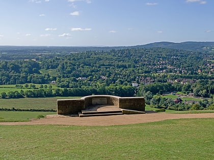
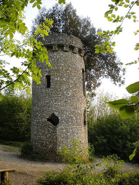
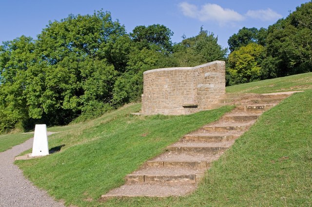
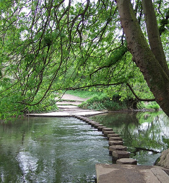
Box Hill is a summit of the North Downs in Surrey, approximately 31 km south-west of London. The hill gets its name from the ancient box woodland found on the steepest west-facing chalk slopes overlooking the River Mole. The western part of the hill is owned and managed by the National Trust, whilst the village of Box Hill lies on higher ground to the east. The highest point is Betchworth Clump at 224 m above OD, although the Salomons Memorial overlooking the town of Dorking is the most popular viewpoint. ()
Day trips
Box Hill – popular in the area (distance from the attraction)
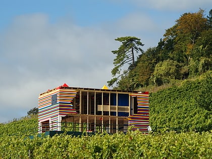
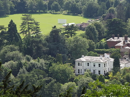
Nearby attractions include: Denbies Wine Estate, Pixham, Betchworth Castle, Dorking Cricket Club Ground.
Frequently Asked Questions (FAQ)
How to get to Box Hill by public transport?
The nearest stations to Box Hill:
Bus
Train
Bus
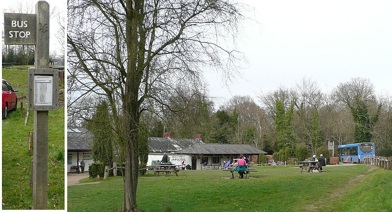
- NT Visitor Centre Box Hill • Lines: 21 (12 min walk)
- Burford Bridge • Lines: 465 (15 min walk)
Train
- Box Hill & Westhumble (23 min walk)
- Dorking (30 min walk)
