Pixham, Dorking
Map
Gallery
Facts and practical information
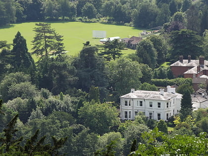
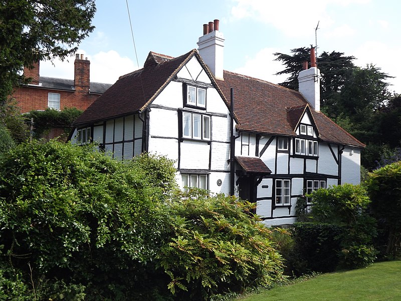
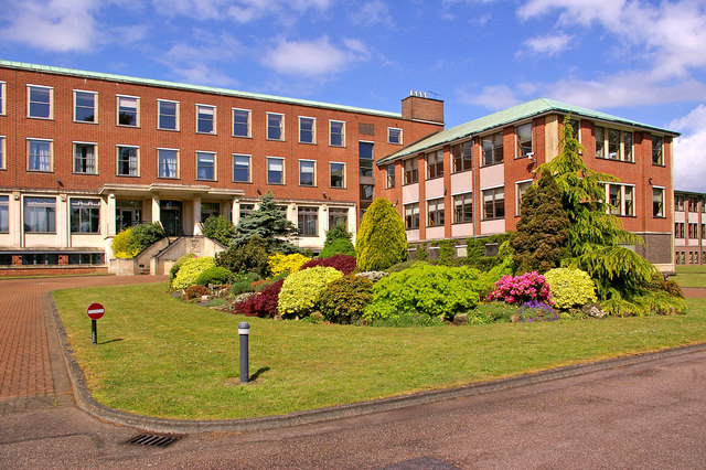
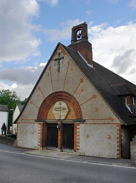
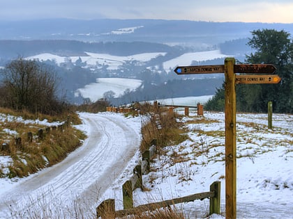
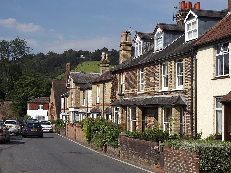
Pixham is a chapelry within the parish of Dorking, Surrey on the near side of the confluence of the River Mole and the Pipp Brook to its town, Dorking, which is centred 1 km southwest. The town as a whole, uniquely in Surrey, has three railway stations; Pixham adjoins or is the location of two of the three; and is near the junction of the A24 and A25 main roads. ()
Coordinates: 51°14'27"N, 0°19'10"W
Address
Dorking
ContactAdd
Social media
Add
Day trips
Pixham – popular in the area (distance from the attraction)
Nearby attractions include: Denbies Wine Estate, Box Hill, St Martin's Church, Betchworth Castle.
Frequently Asked Questions (FAQ)
Which popular attractions are close to Pixham?
Nearby attractions include St Martin's Church, Dorking (20 min walk), Vale of Holmesdale, Dorking (20 min walk), Deepdene Terrace, Dorking (23 min walk).
How to get to Pixham by public transport?
The nearest stations to Pixham:
Bus
Train
Bus
- Pixholme Grove • Lines: 21 (2 min walk)
- Chester Close • Lines: 21 (5 min walk)
Train
- Dorking (6 min walk)
- Dorking Deepdene (7 min walk)
