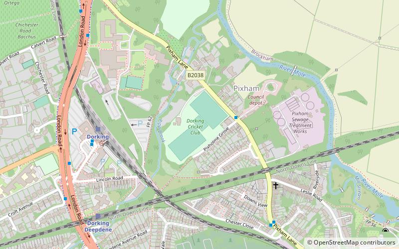
Dorking Cricket Club Ground, Dorking

Gallery (1)
Map
Map
Facts and practical information
Dorking Cricket Club Ground is a cricket ground in Dorking, Surrey. The first recorded match on the ground was in 1993, when the ground hosted a single Women's One Day International in the 1993 Women's Cricket World Cup between Ireland women and West Indies women. ()
Coordinates: 51°14'29"N, 0°19'11"W
Address
Dorking
ContactAdd
Social media
Add
Getting there by public transportation
Public transportation stops near this location
- Bus
- Train
 Bus
Bus
- Calculate routePixholme Grove 2 min walk
- Calculate routeChester Close 6 min walk
- Calculate routePixham Lane 8 min walk
- Calculate routeDorking 5 min walk
- Calculate routeDorking Deepdene 7 min walk
- Calculate routeDorking West 24 min walk
- Calculate routeBox Hill & Westhumble 25 min walk
Day trips


Frequently Asked Questions (FAQ)
Which popular attractions are close to Dorking Cricket Club Ground?
Nearby attractions include Pixham, Dorking (2 min walk), St Martin's Church, Dorking (21 min walk), Vale of Holmesdale, Dorking (21 min walk), Deepdene Terrace, Dorking (24 min walk).
How to get to Dorking Cricket Club Ground by public transport?
The nearest stations to Dorking Cricket Club Ground:
Bus
Train
Bus
- Pixholme Grove • Lines: 21 (2 min walk)
- Chester Close • Lines: 21 (6 min walk)
Train
- Dorking (5 min walk)
- Dorking Deepdene (7 min walk)