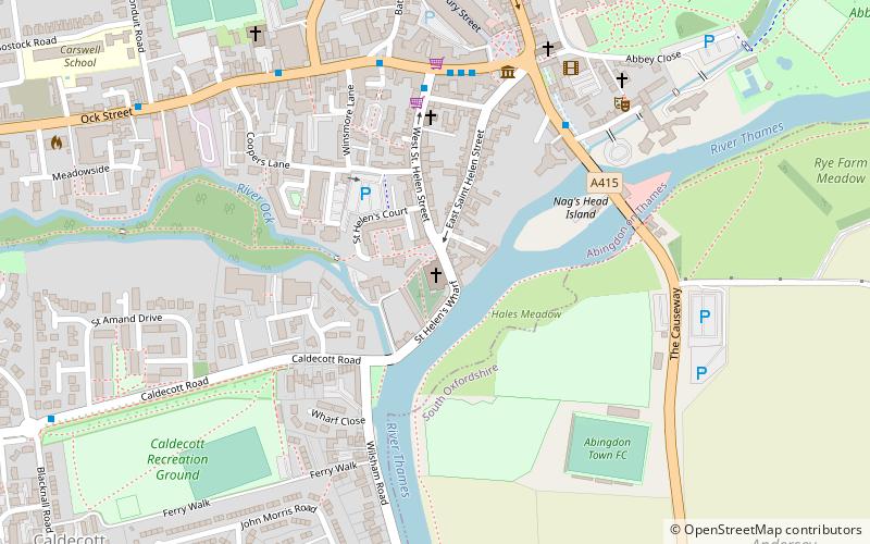
Helenstowe Nunnery, Abingdon
Map
Facts and practical information
Helenstowe Nunnery was an Anglo-Saxon nunnery at Abingdon in the English county of Berkshire. ()
Coordinates: 51°40'3"N, 1°16'58"W
Address
Abingdon
ContactAdd
Social media
Add
Getting there by public transportation
Public transportation stops near this location
- Bus
 Bus
Bus
- Calculate routeStratton Way 7 min walk
Day trips


Frequently Asked Questions (FAQ)
Which popular attractions are close to Helenstowe Nunnery?
Nearby attractions include St Helen's Church, Abingdon (1 min walk), Nag's Head Island, Abingdon (4 min walk), Abingdon Bridge Marine, Abingdon (5 min walk), Abingdon County Hall Museum, Abingdon (5 min walk).
How to get to Helenstowe Nunnery by public transport?
The nearest stations to Helenstowe Nunnery:
Bus
Bus
- Stratton Way • Lines: 33 (7 min walk)