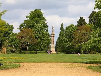
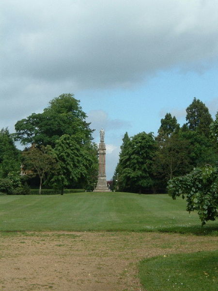
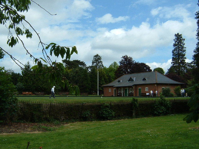
Albert Park, Abingdon
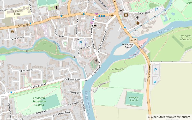
Map
Gallery
Facts and practical information
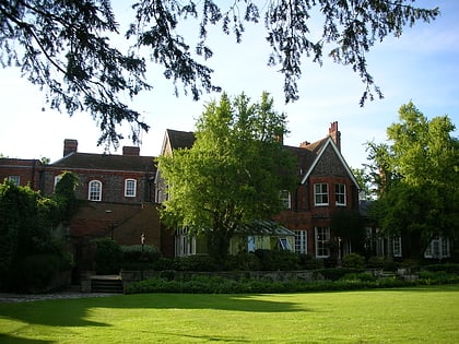
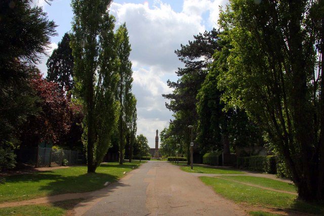
Abingdon Park is a park on Park Road in the northwest of the town of Abingdon, Oxfordshire, England. ()
Elevation: 190 ft a.s.l.Coordinates: 51°40'21"N, 1°17'29"W
Day trips
Albert Park – popular in the area (distance from the attraction)
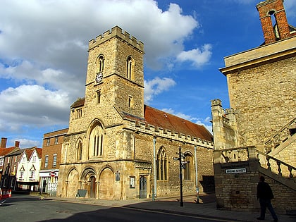
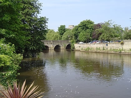
Nearby attractions include: Abingdon County Hall Museum, St Helen's Church, St Nicolas Church, Abingdon Bridge Marine.
Frequently Asked Questions (FAQ)
Which popular attractions are close to Albert Park?
Nearby attractions include Kimber House - MG Car Club, Abingdon (6 min walk), FitzHarris Castle, Abingdon (10 min walk), Abingdon County Hall Museum, Abingdon (12 min walk), St Nicolas Church, Abingdon (13 min walk).
How to get to Albert Park by public transport?
The nearest stations to Albert Park:
Bus
Bus
- Stratton Way • Lines: 33 (8 min walk)
