Cruach Ardrain, Loch Lomond and The Trossachs National Park
#20 among attractions in Loch Lomond and The Trossachs National Park


Facts and practical information
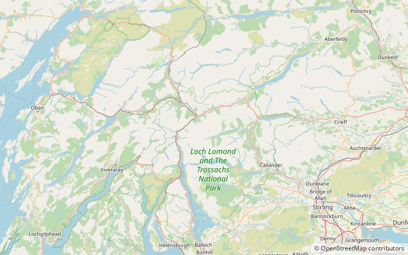
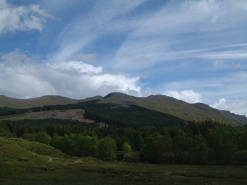
Cruach Ardrain is a Munro mountain located in the southern highlands of Scotland in the Stirling Council area, five kilometres south east of Crianlarich. ()
Loch Lomond and The Trossachs National Park United Kingdom
Cruach Ardrain – popular in the area (distance from the attraction)
Nearby attractions include: Ben More, Falls of Falloch, Stob Binnein, Lochan Saorach.
 Natural attraction, Mountain
Ben More, Crianlarich
63 min walk • Ben More is a mountain in the southern Highlands of Scotland, near Crianlarich. It is the highest of the so-called Crianlarich Hills to the south-east of the village, and there is no higher land in the British Isles south of Ben More.
 Natural attraction, Park, View point
Falls of Falloch, Loch Lomond and The Trossachs National Park
116 min walk • Falls of Falloch is a waterfall and local beauty spot on the river Falloch off the A82. It is 7 km south-west of the village of Crianlarich in the county of Stirling in Scotland. It is also on the West Highland Way.
 Nature, Natural attraction, Mountain
Stob Binnein, Loch Lomond and The Trossachs National Park
47 min walk • Stob Binnein is a mountain in the southern Highlands of Scotland, near Crianlarich. It forms a twin-peak with Ben More 3,852 ft, from which it is separated by the Bealach-eadar-dha Beinn, meaning pass between two hills.
 Valley
Lochan Saorach, Loch Lomond and The Trossachs National Park
117 min walk • Lochan Saorach or Lochan Dun Saoraich is a small lake situated in Glen Dochart, below Dun Saorach, Perthshire, Scottish Highlands, Scotland. The glen extends from Crianlarich eastwards to Killin with the River Dochart passing through it.
 Mountain
Stob a' Choin, Loch Lomond and The Trossachs National Park
84 min walk • Stob a'Choin is a mountain in the Grampian Mountains, Scotland, north of Loch Katrine in the Loch Lomond and The Trossachs National Park. The nearest village is Balquhidder.
 Nature, Natural attraction, Mountain
An Caisteal, Loch Lomond and The Trossachs National Park
57 min walk • An Caisteal is a Scottish mountain situated six kilometres south of the village of Crianlarich in the Stirling Council area.
 Mountain
Beinn a' Chòin, Loch Lomond and The Trossachs National Park
156 min walk • Beinn a' Choin is a mountain in the Grampian Mountains of Scotland. It lies on the border of the Stirling region and Argyll at the northern end of Loch Lomond. A rugged and wild mountain of rocks and moorland lying north of Ben Lomond, it usually climbed from the small settlement of Inversnaid.
 Area
AreaIsland I Vow, Loch Lomond and The Trossachs National Park
183 min walk • Eilean I Vow is a small island in Loch Lomond in west central Scotland. Other variants of the name include Ellan I Vow, Eilean a' Vow, Elanvow, Ellan Vhow and Island I Vow. The island is listed in 13th/14th century charters as "Elanvow". It is opposite Rubha Bàn, a point on the mainland, and north of Inveruglas Isle.
 Nature, Natural attraction, Mountain
Beinn a' Chroin, Loch Lomond and The Trossachs National Park
53 min walk • Beinn a' Chroin is a Scottish mountain located six kilometres south of Crianlarich in the Stirling Council area. With a height of 941.4 metres it qualifies as a Munro.
 Nature, Natural attraction, Valley
Strath Fillan, Loch Lomond and The Trossachs National Park
136 min walk • Strath Fillan is a strath in west Perthshire named after an 8th-century Irish hermit monk later canonised Saint Fillan. Located in the region was once Strath Fillan Priory, an early 14th century foundation, later destroyed by the Campbells in the name of Calvinism.
 Nature, Natural attraction, Mountain
Beinn Chabhair, Loch Lomond and The Trossachs National Park
84 min walk • Beinn Chabhair is a Scottish mountain. It has fine views down to Loch Lomond. A common approach is from Inverarnan, up a steep eroded path beside the dramatic waterfalls of the Ben Glas Burn then finding a vague route across fairly level but very boggy moorland before walking up...
