Victoria Park, Northampton
Map

Map

Facts and practical information
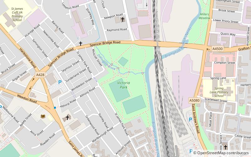
Victoria Park is a public green space in St. James End, Northampton, England, south of Spencer Bridge Road. The park has open grass areas and lines and belts of trees. A stream, a tributary of the River Nene flows from north to south through the park on the east side next to the railway line. A small stream, Dallington Brook, also flows through the park from the north-west joining the Nene tributary. The park has an area of about 6.5 hectares. ()
Elevation: 223 ft a.s.l.Coordinates: 52°14'28"N, 0°54'36"W
Address
St. JamesNorthampton
ContactAdd
Social media
Add
Day trips
Victoria Park – popular in the area (distance from the attraction)
Nearby attractions include: Roadmender, Sixfields Stadium, Grosvenor Centre, All Saints' Church.
Frequently Asked Questions (FAQ)
Which popular attractions are close to Victoria Park?
Nearby attractions include Northampton Castle, Northampton (8 min walk), St. James End, Northampton (11 min walk), St Peter's Church, Northampton (11 min walk), Northampton Abbey of St James, Northampton (11 min walk).
How to get to Victoria Park by public transport?
The nearest stations to Victoria Park:
Train
Train
- Northampton (8 min walk)


