St Paul's Church, Bury
Map
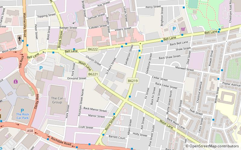
Map

Facts and practical information
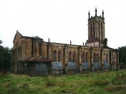
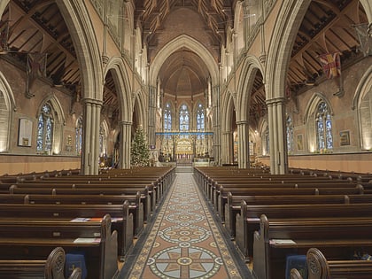
St Paul's Church is in Church Street, Bury, Greater Manchester, England. A former Anglican parish church, it is now redundant and, following fire damage, has been converted into residential use. The former church is recorded in the National Heritage List for England as a designated Grade II listed building. ()
Architectural style: Gothic revivalCoordinates: 53°35'46"N, 2°16'59"W
Address
Bury
ContactAdd
Social media
Add
Day trips
St Paul's Church – popular in the area (distance from the attraction)
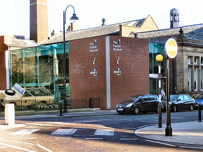
Nearby attractions include: Gigg Lane, Clarence Park, Bury Market, The Fusilier Museum.
Frequently Asked Questions (FAQ)
Which popular attractions are close to St Paul's Church?
Nearby attractions include Argos, Bury (10 min walk), Holy Trinity Church, Bury (14 min walk), Bury Market, Bury (15 min walk), Bury Parish Church, Bury (16 min walk).
How to get to St Paul's Church by public transport?
The nearest stations to St Paul's Church:
Bus
Tram
Train
Bus
- Bury Interchange STAND C • Lines: 486 (17 min walk)
- Bury Interchange STAND G • Lines: 475 (17 min walk)
Tram
- Bury • Lines: Altr, Bury, Picc (18 min walk)
Train
- Bury, Bolton Street (19 min walk)
- Burrs Country Park Halt (35 min walk)
