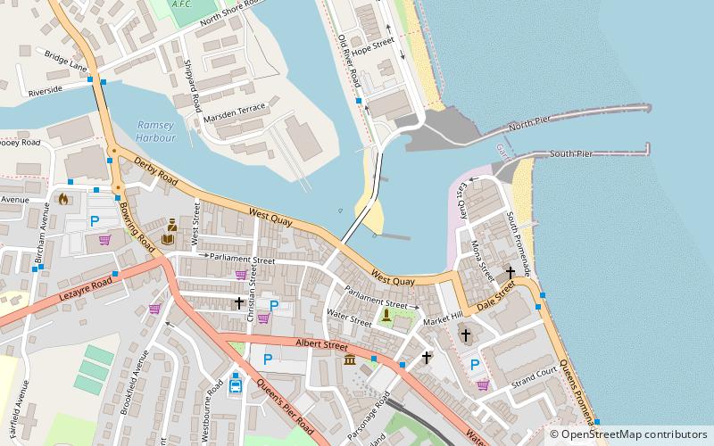
Ramsey Harbour Swing Bridge, Ramsey
Map
Map
Facts and practical information
The Ramsey Harbour Swing Bridge is located on the Isle of Man and links the town centre in Ramsey with the Mooragh Promenade. ()
Opened: 29 June 1892 (131 years ago)Length: 420 ftWidth: 15 ftCoordinates: 54°19'22"N, 4°22'55"W
Address
Ramsey
ContactAdd
Social media
Add
Day trips
Ramsey Harbour Swing Bridge – popular in the area (distance from the attraction)
Nearby attractions include: Ramsey Golf Club, Albert Tower, Grove House, Ramsey Heritage Centre.
Frequently Asked Questions (FAQ)
Which popular attractions are close to Ramsey Harbour Swing Bridge?
Nearby attractions include Ramsey Heritage Centre, Ramsey (4 min walk), Mooragh Park, Ramsey (13 min walk), Albert Tower, Ramsey (18 min walk), Grove House, Ramsey (22 min walk).
How to get to Ramsey Harbour Swing Bridge by public transport?
The nearest stations to Ramsey Harbour Swing Bridge:
Light rail
Train
Bus
Light rail
- Ramsey Plaza Station • Lines: Manx Electric Railway (5 min walk)
- Ramsey, Plaza • Lines: Manx Electric Railway (5 min walk)
Train
- Ramsey Plaza Station (5 min walk)
- Ramsey, Plaza (5 min walk)
Bus
- Ramsey Bus Station (5 min walk)