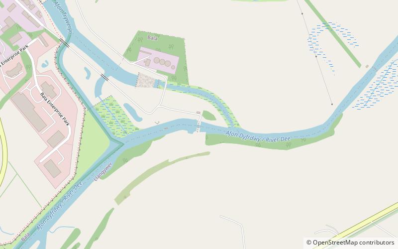
Dee Regulation Scheme, Bala

Map
Facts and practical information
The Dee regulation scheme is a system of flow balancing and quality management along the River Dee managed by a consortium of the three largest water companies licensed to take water from the river, United Utilities, Welsh Water and Severn Trent Water; together with the regulator, Natural Resources Wales. ()
Coordinates: 52°54'26"N, 3°35'1"W
Address
Bala
ContactAdd
Social media
Add
Day trips
Dee Regulation Scheme – popular in the area (distance from the attraction)
Nearby attractions include: Bala Lake, St Melangell's Church, Mary Jones World, Carndochan Castle.
Frequently Asked Questions (FAQ)
Which popular attractions are close to Dee Regulation Scheme?
Nearby attractions include Capel Clay, Bala (15 min walk), Christ Church, Bala (18 min walk).


