Mynydd Nodol, Snowdonia National Park
Map

Map

Facts and practical information
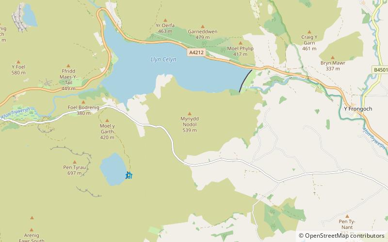
Mynydd Nodol is a 539m high hill in Snowdonia National Park and lying within the community of Llanycil in the county of Gwynedd in North Wales. It rises above the southern shores of the reservoir Llyn Celyn about 4 km northeast of its higher neighbour Arenig Fawr. Mynydd Nodol forms the backdrop in views from the A4212 car park by the dam. The hill throws down a broad shoulder to the east. ()
Elevation: 1768 ftProminence: 551 ftCoordinates: 52°56'16"N, 3°41'19"W
Address
Snowdonia National Park
ContactAdd
Social media
Add
Day trips
Mynydd Nodol – popular in the area (distance from the attraction)
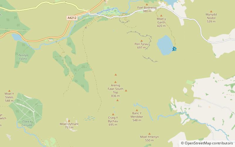
Nearby attractions include: Arenig Fawr, Mary Jones World, Llyn Arenig Fawr, Arenig Fach.


