Isis Lock, Oxford
Map
Gallery
Facts and practical information
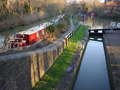
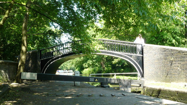
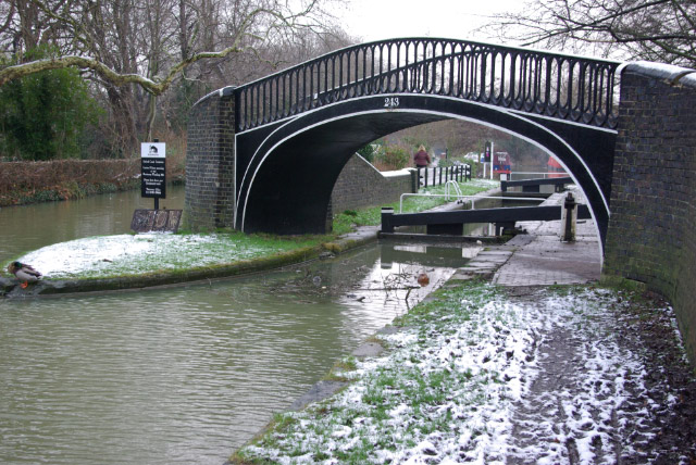
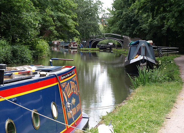
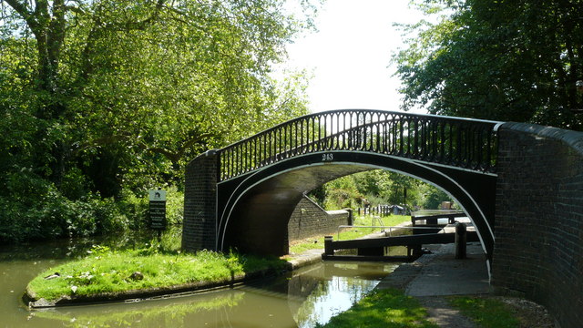
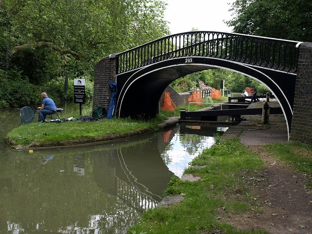
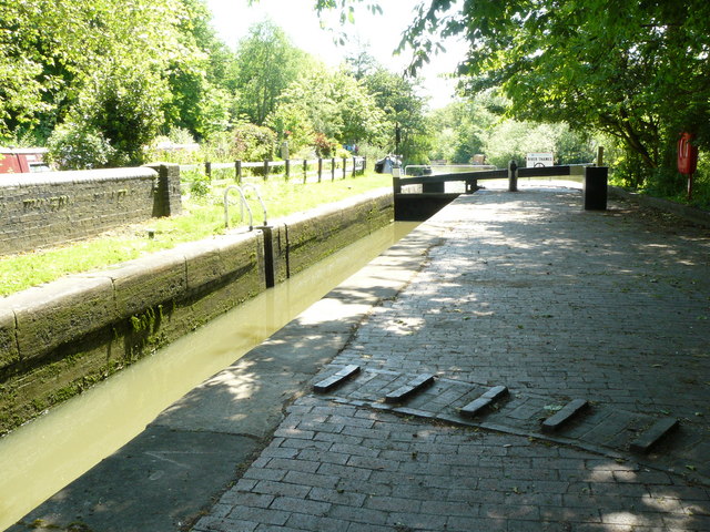
Isis Lock is a lock connecting the Oxford Canal and the Castle Mill Stream, a backwater of the River Thames in Oxford, England. ()
Coordinates: 51°45'22"N, 1°16'9"W
Address
Jericho and OsneyOxford
ContactAdd
Social media
Add
Day trips
Isis Lock – popular in the area (distance from the attraction)
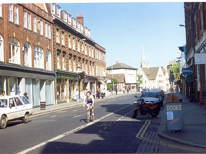
Nearby attractions include: Walton Street, Hythe Bridge Street, Little Clarendon Street, St Barnabas Church.
Frequently Asked Questions (FAQ)
Which popular attractions are close to Isis Lock?
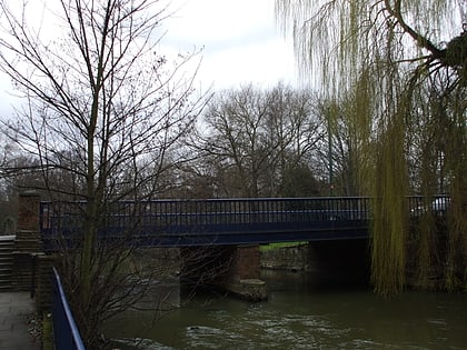
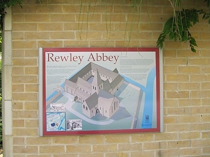
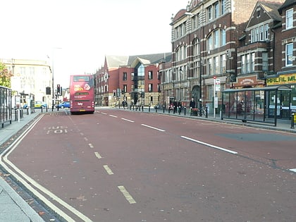
Nearby attractions include Rewley Road, Oxford (2 min walk), Rewley Road Swing Bridge, Oxford (2 min walk), Sheepwash Channel Railway Bridge, Oxford (2 min walk), Rewley Abbey, Oxford (4 min walk).
How to get to Isis Lock by public transport?
The nearest stations to Isis Lock:
Train
Bus
Train
- Oxford (5 min walk)
Bus
- Park End Street • Lines: 280, 4, 4A, 4B, 4C, X3 (7 min walk)
- Gloucester Green Bus Station • Lines: 737, Lgw, Lhr, Tube, X5, X90 (9 min walk)
