Carreg Cadno, Pen y Cae

Gallery (1)
Map
Map
Facts and practical information
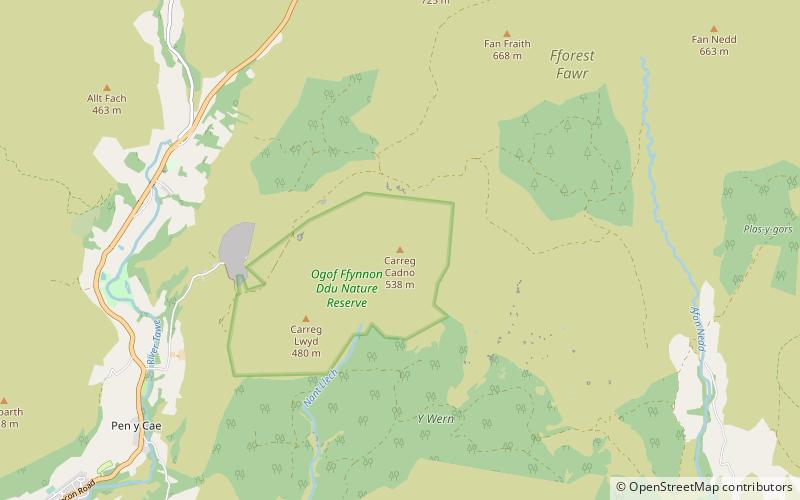
Carreg Cadno is a hill five miles northeast of Abercraf in the county of Powys, south Wales. It lies within the Brecon Beacons National Park and Fforest Fawr Geopark. Its summit at OS grid ref SN 874161 reaches a height of 538m / 1763 ft above sea level. The hill is within the Ogof Ffynnon Ddu National Nature Reserve which is owned and managed by the Countryside Council for Wales. ()
Coordinates: 51°49'48"N, 3°37'59"W
Address
Pen y Cae
ContactAdd
Social media
Add
Day trips


