Snowdon Massif, Snowdonia National Park
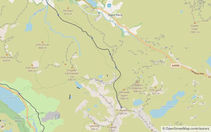
Map
Gallery
Facts and practical information
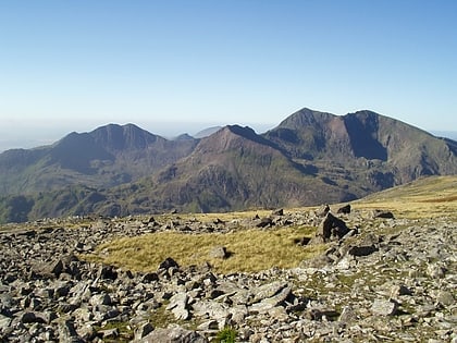
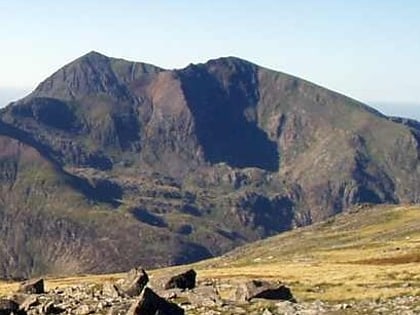
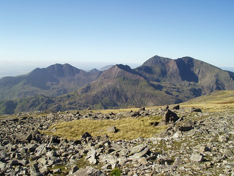
The Snowdon Massif is one of the three mountain groups in Snowdonia, north Wales, to include mountains over 3,000 feet high. It occupies the area between Beddgelert, Pen-y-Pass and Llanberis. It is surrounded by the Glyderau to the north-east, Moel Siabod to the east, the Moelwynion to the south, Moel Hebog, the Nantlle Ridge and Mynydd Mawr to the west, and by flatter land leading down to Caernarfon and the Menai Strait to the north-west. ()
Coordinates: 53°5'5"N, 4°5'14"W
Address
Snowdonia National Park
ContactAdd
Social media
Add
Day trips
Snowdon Massif – popular in the area (distance from the attraction)
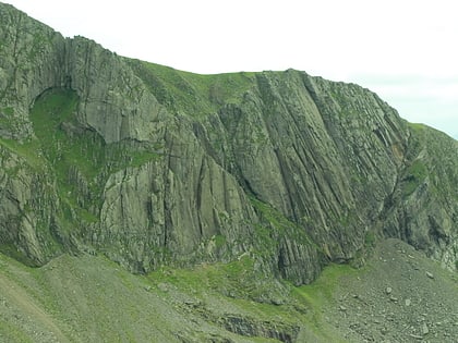
Nearby attractions include: Snowdon, Clogwyn Du'r Arddu, Glaslyn, Garnedd Ugain.
Frequently Asked Questions (FAQ)
Which popular attractions are close to Snowdon Massif?
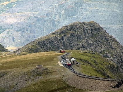
Nearby attractions include Garnedd Ugain, Snowdonia National Park (21 min walk), Llechog, Snowdonia National Park (21 min walk).
How to get to Snowdon Massif by public transport?
The nearest stations to Snowdon Massif:
Train
Train
- Clogwyn (8 min walk)
- Rocky Valley Halt (9 min walk)
