Tucktonia, Christchurch
Map
Facts and practical information
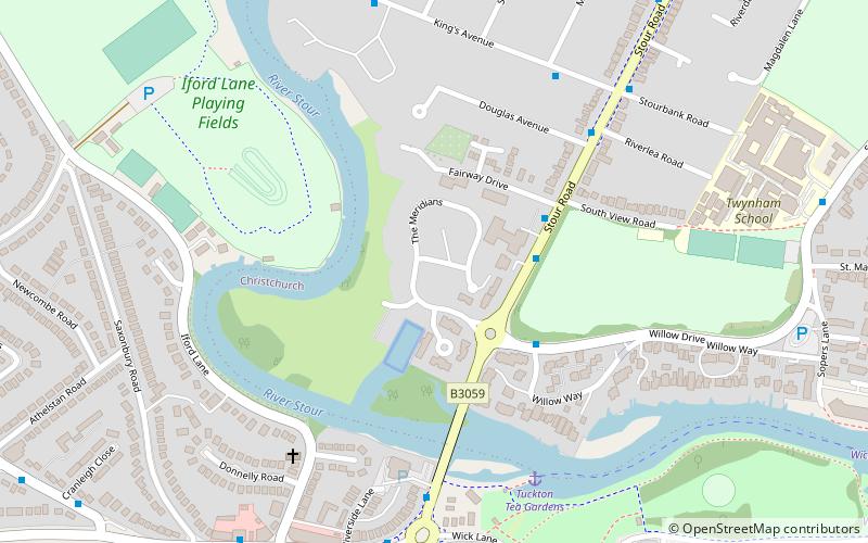
Tucktonia was a late 1970s theme park located on Stour Road, Christchurch, Dorset, England. It was officially opened on 23 May 1976 by Arthur Askey. It originally occupied 4 acres of the 21-acre Tuckton Park Leisure Complex. The park was closed down in 1986. The site has since been redeveloped for residential use. ()
Opened: 23 May 1976 (49 years ago)Elevation: 3 ft a.s.l.Coordinates: 50°43'55"N, 1°47'24"W
Address
Christchurch Town CentreChristchurch
ContactAdd
Social media
Add
Getting there by public transportation
Public transportation stops near this location
- Bus
- Train
 Bus
Bus
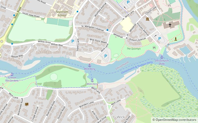
- Calculate routeRiverland Court 3 min walk
- Calculate routeWillow Drive 3 min walk
- Calculate routeManor Road 6 min walk
- Calculate routeKings Avenue 6 min walk
- Calculate routeChristchurch 13 min walk
Day trips


Frequently Asked Questions (FAQ)
Which popular attractions are close to Tucktonia?
Nearby attractions include Druitt Hall, Christchurch (13 min walk), Christchurch Castle, Christchurch (15 min walk), Red House Museum, Christchurch (16 min walk), Christchurch Priory, Christchurch (18 min walk).
How to get to Tucktonia by public transport?
The nearest stations to Tucktonia:
Bus
Train
Bus
- Riverland Court • Lines: 1, 11, 1b, 1N, 33 (3 min walk)
- Willow Drive • Lines: 33 (3 min walk)
Train
- Christchurch (13 min walk)