Southbourne, Bournemouth
Map

Map

Facts and practical information
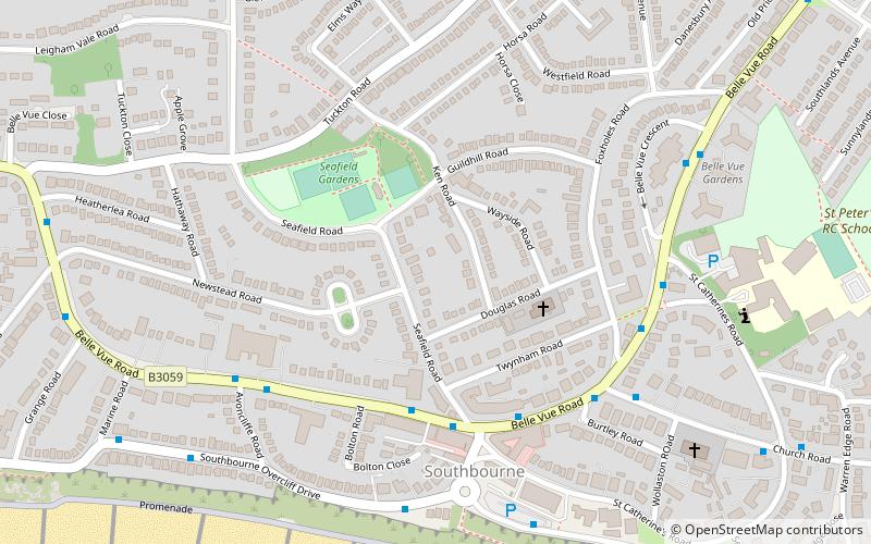
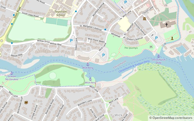
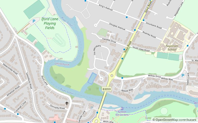
Southbourne is a suburb of Bournemouth in Dorset, England. It is situated between Boscombe and Christchurch, in the unitary authority of Bournemouth, Christchurch and Poole. The area was previously known as Stourfield. Strictly, Southbourne refers to the area near to the coast; areas further inland are West Southbourne, Tuckton and Wick. It was historically part of Hampshire until 1974. ()
Coordinates: 50°43'25"N, 1°47'57"W
Address
East SouthbourneBournemouth
ContactAdd
Social media
Add
Day trips
Southbourne – popular in the area (distance from the attraction)
Nearby attractions include: Christchurch Priory, Red House Museum, Christchurch Castle, Christchurch Rowing Club.
Frequently Asked Questions (FAQ)
How to get to Southbourne by public transport?
The nearest stations to Southbourne:
Bus
Train
Bus
- Southbourne Crossroads • Lines: 1, 1N, 33, m2 (4 min walk)
- Belle Vue Mansions • Lines: 1, 1N, 33 (4 min walk)
Train
- Christchurch (31 min walk)


