Christchurch Priory, Christchurch
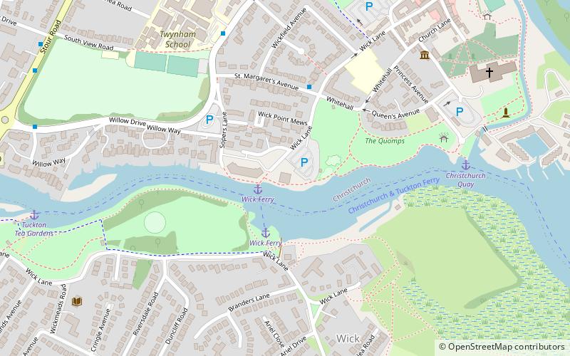
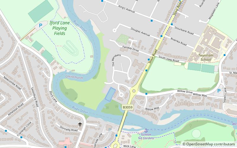
Map
Gallery
Facts and practical information
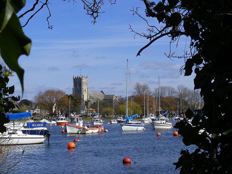
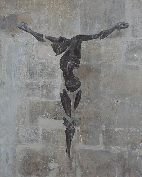
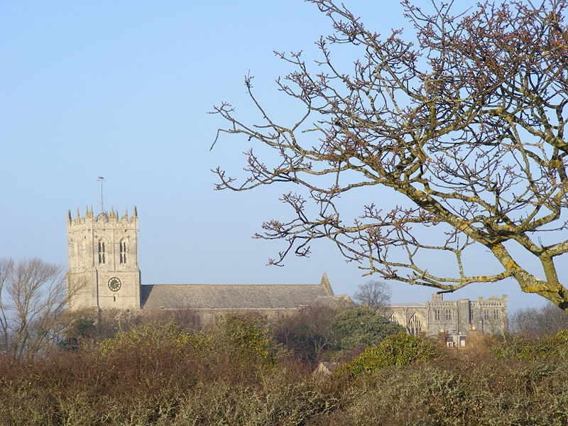
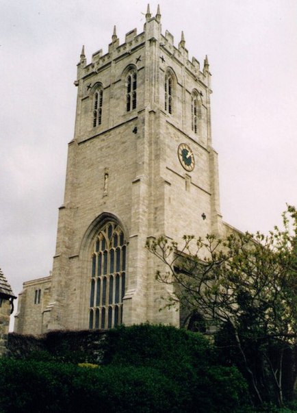
Christchurch Priory is an ecclesiastical parish and former priory church in Christchurch in the English county of Dorset. It is one of the longest parish churches in the country and is as large as many of the Church of England Cathedrals. ()
Coordinates: 50°43'56"N, 1°46'27"W
Day trips
Christchurch Priory – popular in the area (distance from the attraction)
Nearby attractions include: Red House Museum, Hengistbury Head, Christchurch Castle, Bailey bridge.
Frequently Asked Questions (FAQ)
Which popular attractions are close to Christchurch Priory?
Nearby attractions include Red House Museum, Christchurch (3 min walk), Christchurch Castle, Christchurch (6 min walk), Druitt Hall, Christchurch (7 min walk), Tucktonia, Christchurch (18 min walk).
How to get to Christchurch Priory by public transport?
The nearest stations to Christchurch Priory:
Bus
Train
Bus
- Priory Corner • Lines: 1, 11, 1a, 1aN, 1b, 1N, 23, 24, 31, X1, X2 (4 min walk)
- Christchurch Library • Lines: 1, 11, 125, 1a, 1aN, 1b, 23, 24, 31, 33, X1, X2 (6 min walk)
Train
- Christchurch (17 min walk)


