Tadcaster Bridge, Tadcaster
Map

Gallery

Facts and practical information
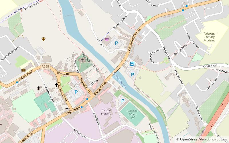
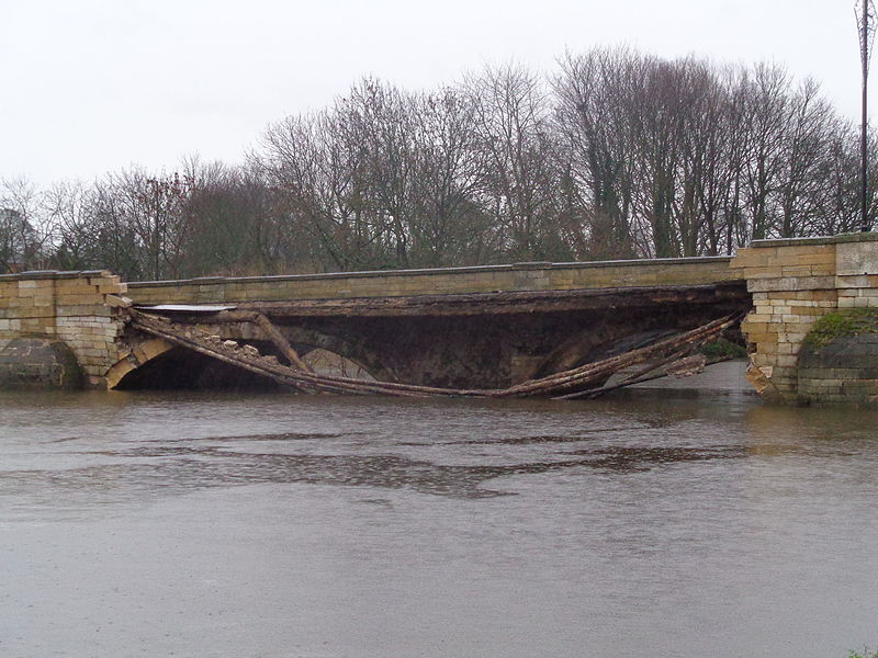
Tadcaster Bridge or Wharfe Bridge spans the River Wharfe in Tadcaster, North Yorkshire, England. The road bridge is believed to date from around 1700. It is the main route connecting the two sides of the town and one of two road crossings in the town, the other being the bridge for the A64 bypass. Tadcaster Bridge partially collapsed on 29 December 2015 after flooding that followed Storm Eva, and reopened on 3 February 2017. ()
Coordinates: 53°53'6"N, 1°15'35"W
Address
Tadcaster
ContactAdd
Social media
Add
Day trips
Tadcaster Bridge – popular in the area (distance from the attraction)
Nearby attractions include: St Ricarius Church, Bramham Park, St Mary's Chapel, St Edward.


