Ainsty Bounds Walk, Tadcaster
Map

Map

Facts and practical information
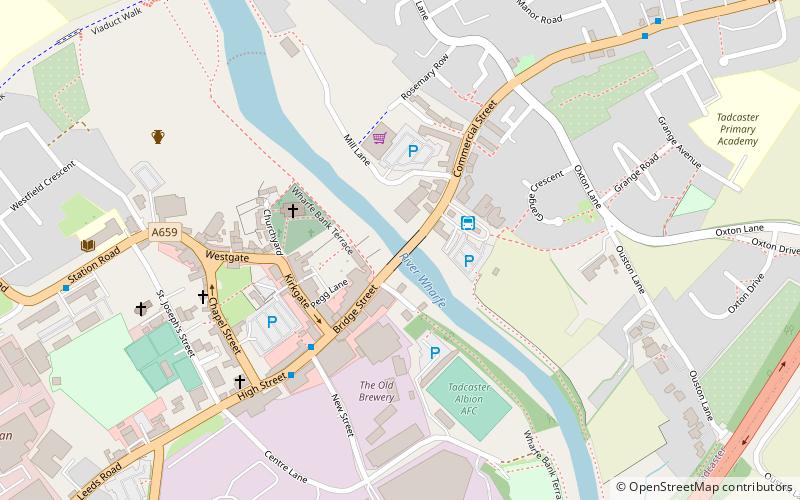
The Ainsty Bounds Walk is a 44-mile long-distance footpath mostly in North Yorkshire, England, with a short section in West Yorkshire. It follows the boundaries of the ancient wapentake of The Ainsty, between the rivers Wharfe, Nidd and Ouse, and passes through the towns of Boston Spa, Wetherby, Moor Monkton, the outskirts of York, and Bolton Percy. As a circular walk it can be walked from any point, but it is considered to start and finish at Tadcaster. ()
Length: 44 miCoordinates: 53°53'6"N, 1°15'36"W
Address
Tadcaster
ContactAdd
Social media
Add
Day trips
Ainsty Bounds Walk – popular in the area (distance from the attraction)
Nearby attractions include: St Ricarius Church, Bramham Park, St Mary's Chapel, St Edward.
Frequently Asked Questions (FAQ)
Which popular attractions are close to Ainsty Bounds Walk?
Nearby attractions include Tadcaster Bridge, Tadcaster (1 min walk), St Mary's Church, Tadcaster (5 min walk).


