Skye Bridge, Isle of Skye
Map

Map

Facts and practical information
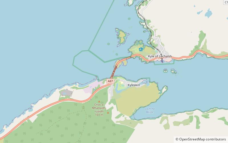
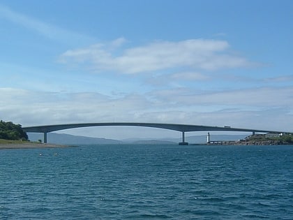
The Skye Bridge is a road bridge over Loch Alsh, Scotland, connecting the Isle of Skye to the island of Eilean Bàn. The name is also used for the whole Skye Crossing, which further connects Eilean Bàn to the mainland across the Carrich Viaduct. The crossing forms part of the A87. ()
Address
Isle of Skye
ContactAdd
Social media
Add
Day trips
Skye Bridge – popular in the area (distance from the attraction)
Nearby attractions include: Glenelg Inn, Caisteal Maol, Duncraig Castle, Sgùrr na Coinnich.
Frequently Asked Questions (FAQ)
How to get to Skye Bridge by public transport?
The nearest stations to Skye Bridge:
Bus
Train
Bus
- Kyleside Bus Shelter • Lines: 52 (15 min walk)
- Kyle of Lochalsh, at Harbour Slipway • Lines: 164, 52, 712, 713, 915, 917 (27 min walk)
Train
- Kyle of Lochalsh (29 min walk)


