Beinn na Caillich, Kyleakin

Gallery (1)
Map
Map
Facts and practical information
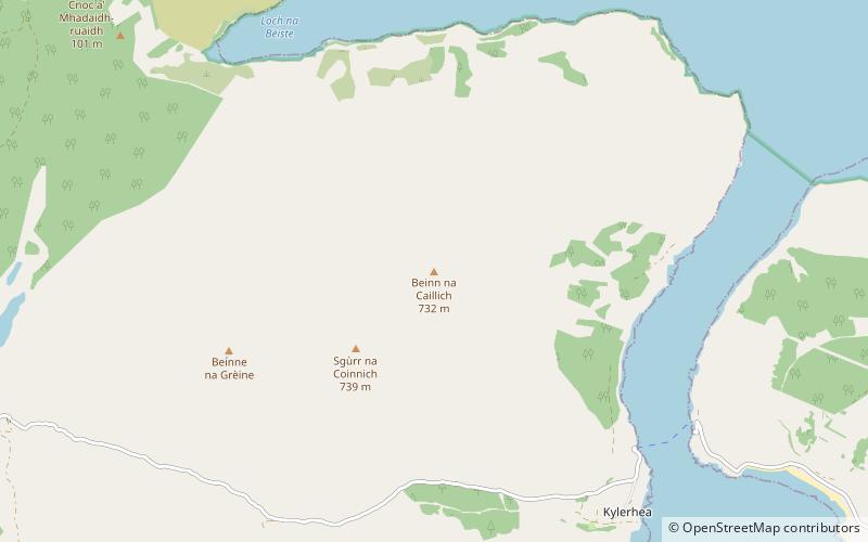
Beinn na Caillich is a mountain at the eastern end of the Isle of Skye, in Scotland. It is situated to the west of Kyle Rhea, about 4 km south-east of Kyleakin. Confusingly, there is another hill named Beinn na Caillich on Skye with an identical height in the Red Cuillin, 4 km west of Broadford. ()
Elevation: 2402 ftProminence: 505 ftCoordinates: 57°14'34"N, 5°41'48"W
Address
Kyleakin
ContactAdd
Social media
Add
Day trips


