Sgùrr na Coinnich, Kyleakin

Gallery (2)
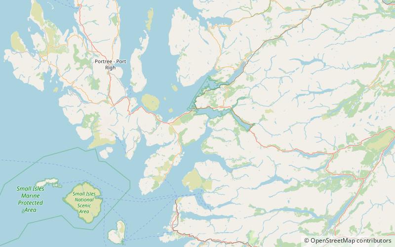
Map
Map
Gallery
Facts and practical information
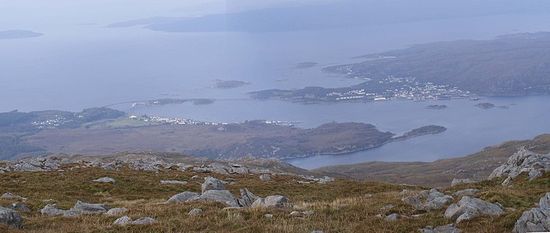
Sgùrr na Coinnich is the highest peak on the Sleat peninsula at the east end of the Isle of Skye. Together with its slightly lower neighbour, Beinn na Caillich, it overlooks the Skye Bridge that links the towns of Kyle of Lochalsh and Kyleakin. ()
Elevation: 2425 ftProminence: 2343 ftCoordinates: 57°14'11"N, 5°42'33"W
Address
Kyleakin
ContactAdd
Social media
Add
Day trips


