Peace Wall, Belfast

Gallery (1)
Map
Map
Facts and practical information
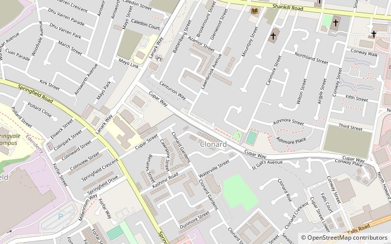
Peace Wall (address: Cupar Way) is a place located in Belfast (Northern Ireland province) and belongs to the category of museum.
It is situated at an altitude of 85 feet, and its geographical coordinates are 54°36'5"N latitude and 5°57'27"W longitude.
Planning a visit to this place, one can easily and conveniently get there by public transportation. Peace Wall is a short distance from the following public transport stations: Belfast - Great Victoria Street (train, 25 min walk), Europa Bus Centre (bus, 25 min walk).
Among other places and attractions worth visiting in the area are: Clonard Monastery (church, 3 min walk), Irish Republican History Museum (museum, 8 min walk), Shankill Graveyard (cemetery, 9 min walk).
Coordinates: 54°36'5"N, 5°57'27"W
Getting there by public transportation
Public transportation stops near this location
- Bus
- Train
 Bus
Bus
- Calculate routeBelfast - Great Victoria Street 25 min walk
- Calculate routeCity Hospital 29 min walk
- Calculate routeBotanic 35 min walk
- Calculate routeEuropa Bus Centre 25 min walk
- Calculate routeBelfast 26 min walk
- Calculate routeDonegall Place 29 min walk
- Calculate routeBradbury Place 33 min walk
Day trips


Frequently Asked Questions (FAQ)
Which popular attractions are close to Peace Wall?
Nearby attractions include Clonard Monastery, Belfast (3 min walk), Irish Republican History Museum, Belfast (8 min walk), Shankill Graveyard, Belfast (9 min walk), Woodvale Park, Belfast (14 min walk).
How to get to Peace Wall by public transport?
The nearest stations to Peace Wall:
Train
Bus
Train
- Belfast - Great Victoria Street (25 min walk)
- City Hospital (29 min walk)
Bus
- Europa Bus Centre (25 min walk)
- Belfast • Lines: X1, X2A (26 min walk)