Langdale axe industry, Elterwater

Gallery (7)
Map


Map

Gallery
Facts and practical information
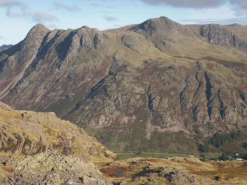
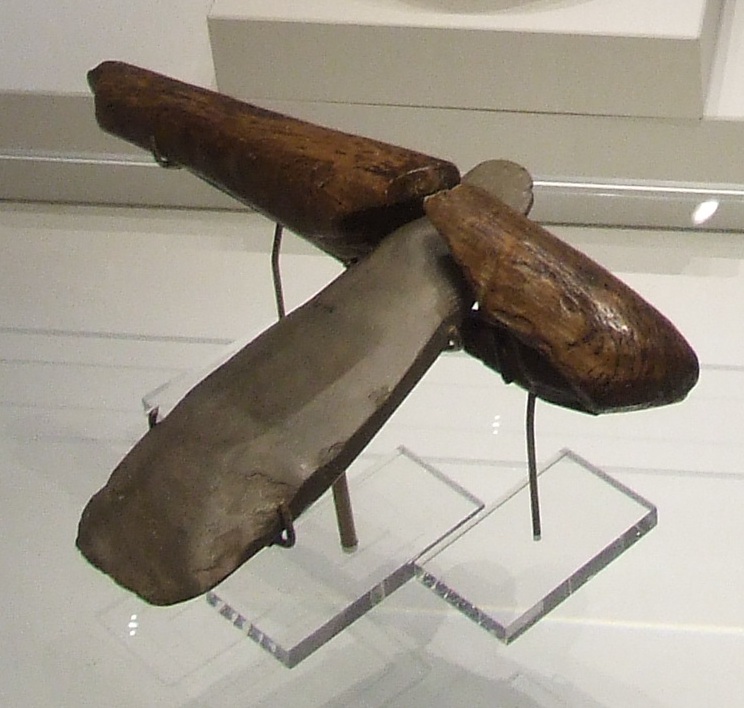
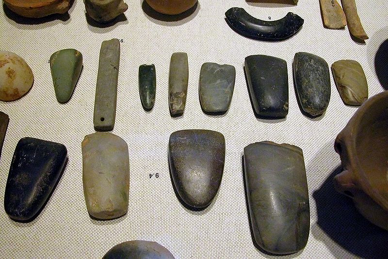
The Langdale axe industry is the name given by archaeologists to specialised stone tool manufacturing centred at Great Langdale in England's Lake District during the Neolithic period. The existence of a production site was originally suggested by chance discoveries in the 1930s, which were followed by more systematic searching in the 1940s and 1950s by Clare Fell and others. The finds were mainly reject axes, rough-outs and blades created by knapping large lumps of the rock found in the scree or perhaps by simple quarrying or opencast mining. Hammerstones have also been found in the scree and other lithic debitage from the industry such as blades and flakes. ()
Address
Elterwater
ContactAdd
Social media
Add
Getting there by public transportation
Public transportation stops near this location
- Bus
 Bus
Bus
- Calculate routeLangdale C of E Primary School 22 min walk
- Calculate routeStores 22 min walk
- Calculate routeThe Britannia Inn 36 min walk
Day trips


Frequently Asked Questions (FAQ)
Which popular attractions are close to Langdale axe industry?
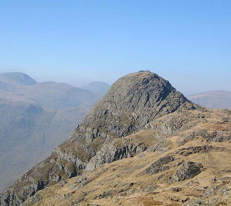
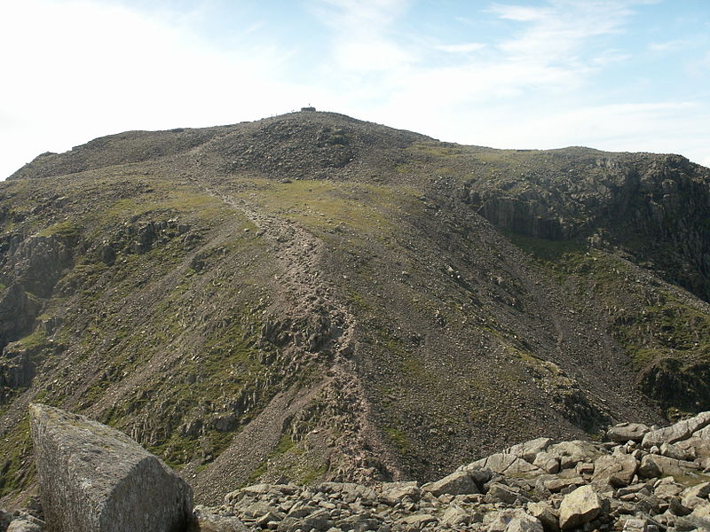
Nearby attractions include Great Langdale, Elterwater (11 min walk), Silver How, Elterwater (23 min walk), Lingmoor Fell, Elterwater (24 min walk).
How to get to Langdale axe industry by public transport?
The nearest stations to Langdale axe industry:
Bus
Bus
- Langdale C of E Primary School • Lines: 516 (22 min walk)
- Stores • Lines: 516 (22 min walk)