Cefn Golau

Gallery (1)
Map

Map
Facts and practical information
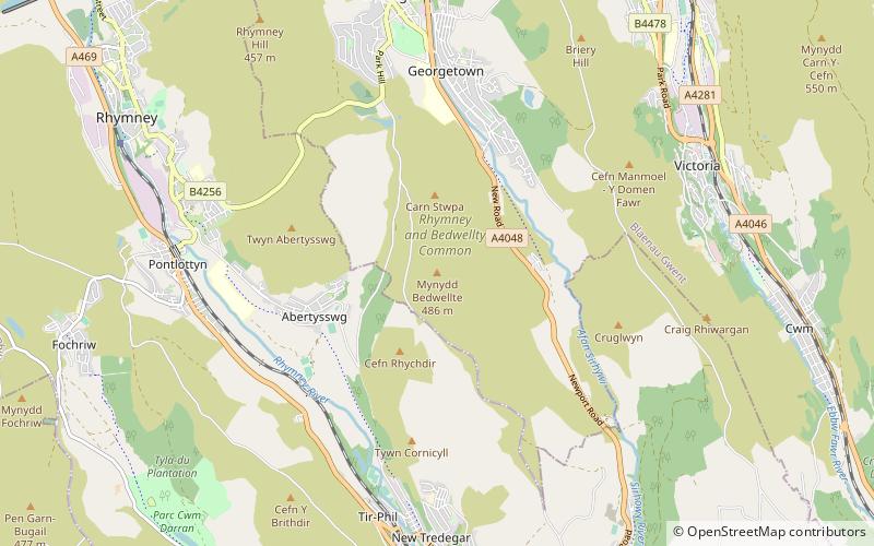
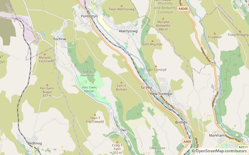
Cefn Golau is a disused cholera cemetery situated on a narrow mountain ridge in the county borough of Blaenau Gwent, and located between Rhymney and Tredegar in south-east Wales. A suburb of Tredegar and a nearby feeder reservoir have the same name. The graves date from 1832 to 1855 with many for August and September 1849. ()
Coordinates: 51°45'36"N, 3°15'36"W
Location
Wales
ContactAdd
Social media
Add
Day trips