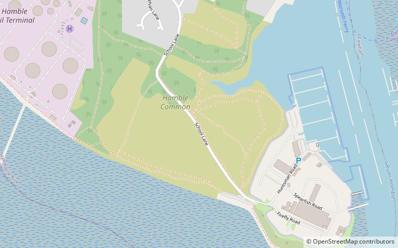
St Andrew's Castle, Hamble-le-Rice
Map

Map

Facts and practical information
St Andrew's Castle was an artillery fort constructed by Henry VIII near Hamble-le-Rice, Hampshire, between 1542 and 1543. It formed part of the King's Device programme to protect against invasion from France and the Holy Roman Empire, and defended Southampton Water near the Solent. St Andrew's comprised a keep and a gun platform, protected by a moat. The castle was decommissioned in 1642 during the English Civil War and has been largely destroyed through coastal erosion. ()
Built: 1542 (484 years ago)Coordinates: 50°51'9"N, 1°18'60"W
Address
Hamble-le-Rice and Butlocks HeathHamble-le-Rice
ContactAdd
Social media
Add
Day trips
St Andrew's Castle – popular in the area (distance from the attraction)
Nearby attractions include: Marine Matters, Mercury Marshes, Royal Victoria Country Park, Hamble Common Camp.
Frequently Asked Questions (FAQ)
Which popular attractions are close to St Andrew's Castle?
Nearby attractions include Hamble Common Camp, Hamble-le-Rice (2 min walk), Marine Matters, Locks Heath (13 min walk), Hamble Yacht Services, Hamble-le-Rice (19 min walk).


