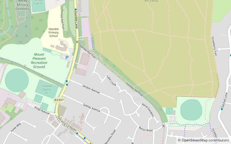
Hamble Rail Trail, Hamble-le-Rice
Map

Map

Facts and practical information
The Hamble Rail Trail is a 4.5-mile-long circular footpath in Hampshire, southern England, comprising a path which runs alongside a disused railway track that connects Hamble-le-Rice to Royal Victoria Country Park and looping back via a section of the Solent Way footpath. ()
Coordinates: 50°51'52"N, 1°19'29"W
Address
Hamble-le-Rice and Butlocks HeathHamble-le-Rice
ContactAdd
Social media
Add
Day trips
Hamble Rail Trail – popular in the area (distance from the attraction)
Nearby attractions include: Marine Matters, Swanwick Shore Strict Baptist Chapel, Mercury Marshes, Royal Victoria Country Park.
Frequently Asked Questions (FAQ)
Which popular attractions are close to Hamble Rail Trail?
Nearby attractions include Hamble Yacht Services, Hamble-le-Rice (13 min walk), Mercury Marshes, Hamble-le-Rice (16 min walk), Royal Victoria Country Park, Southampton (20 min walk), Hamble Common Camp, Hamble-le-Rice (22 min walk).


