Hamble Common Camp, Hamble-le-Rice
Map

Map

Facts and practical information
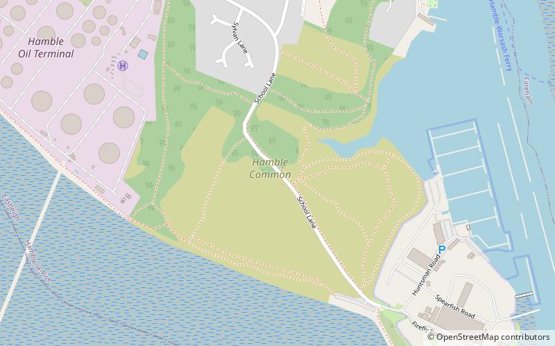
Hamble Common Camp is the site of an Iron Age promontory hillfort located in Hampshire. The fort is located on Hamble common on a peninsula of land formed between Southampton Water and the River Hamble. The site was later occupied by St Andrews castle, one of the Device Forts built by King Henry VIII. ()
Coordinates: 50°51'10"N, 1°19'3"W
Address
Hamble-le-Rice and Butlocks HeathHamble-le-Rice
ContactAdd
Social media
Add
Day trips
Hamble Common Camp – popular in the area (distance from the attraction)
Nearby attractions include: Marine Matters, Mercury Marshes, Royal Victoria Country Park, Hamble Rail Trail.
Frequently Asked Questions (FAQ)
Which popular attractions are close to Hamble Common Camp?
Nearby attractions include St Andrew's Castle, Hamble-le-Rice (2 min walk), Marine Matters, Locks Heath (14 min walk), Hamble Yacht Services, Hamble-le-Rice (19 min walk).


