Goleigh Hill, South Downs National Park

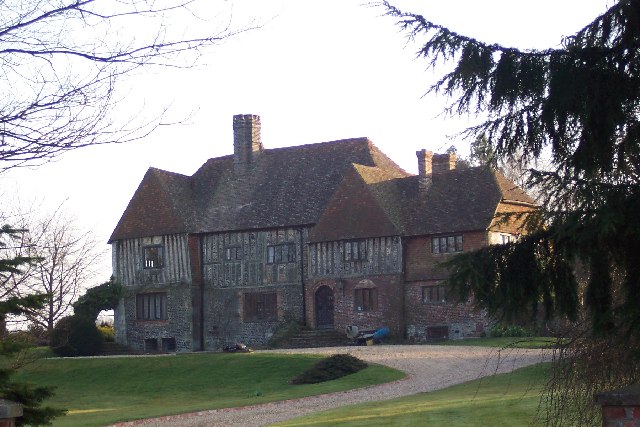
Gallery (2)
Map
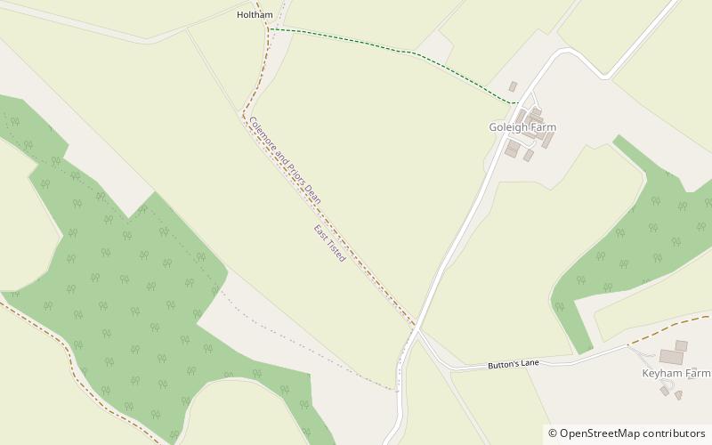
Map
Gallery
Facts and practical information
Goleigh Hill is one of the highest points in the county of Hampshire, England. It is part of the Hampshire Downs and reaches a height of 220 metres above sea level. ()
Elevation: 722 ftProminence: 174 ftCoordinates: 51°4'20"N, 0°57'50"W
Address
South Downs National Park
ContactAdd
Social media
Add
Day trips