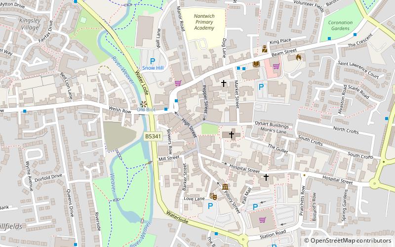
20 High Street, Nantwich
Map

Map

Facts and practical information
20 High Street is a grade-II-listed Georgian building in Nantwich, Cheshire, England, which dates from the late 18th century. It stands on the west side of the High Street. In the 18th century, the building was used as an inn and a venue for cock-fighting; it later became a private house and subsequently a shop. The site is believed to have been near the town's Norman castle. ()
Coordinates: 53°4'2"N, 2°31'20"W
Address
Nantwich
ContactAdd
Social media
Add
Day trips
20 High Street – popular in the area (distance from the attraction)
Nearby attractions include: 46 High Street, Nantwich Museum, St Mary's Church, Dorfold Hall.
Frequently Asked Questions (FAQ)
Which popular attractions are close to 20 High Street?
Nearby attractions include 1–3 Churchyard Side, Nantwich (1 min walk), 9 Mill Street, Nantwich (2 min walk), St Mary's Church, Nantwich (2 min walk), Nantwich Castle, Nantwich (3 min walk).
How to get to 20 High Street by public transport?
The nearest stations to 20 High Street:
Train
Train
- Nantwich (8 min walk)


