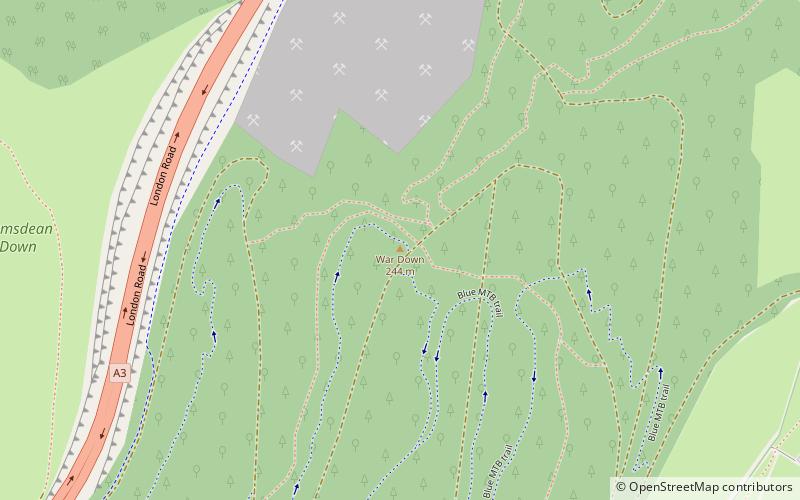
War Down, South Downs National Park
Map

Map

Facts and practical information
At 244 metres, War Down is one of the highest hills in the county of Hampshire, England and the second highest summit in the Hampshire part of the South Downs. Just 1 kilometre to the northwest is the South Downs' highest point at Butser Hill. ()
Elevation: 801 ftProminence: 295 ftCoordinates: 50°58'26"N, 0°58'1"W
Address
South Downs National Park
ContactAdd
Social media
Add
Day trips
War Down – popular in the area (distance from the attraction)
Nearby attractions include: Buriton Chalk Pit, Butser Hill, South Downs, Oxenbourne Down.
Frequently Asked Questions (FAQ)
Which popular attractions are close to War Down?
Nearby attractions include Queen Elizabeth Country Park, South Downs National Park (12 min walk), Buriton Chalk Pit, Petersfield (13 min walk), Butser Hill, South Downs National Park (17 min walk), South Downs, South Downs National Park (18 min walk).


