Covent Garden, Cambridge
Map

Gallery

Facts and practical information
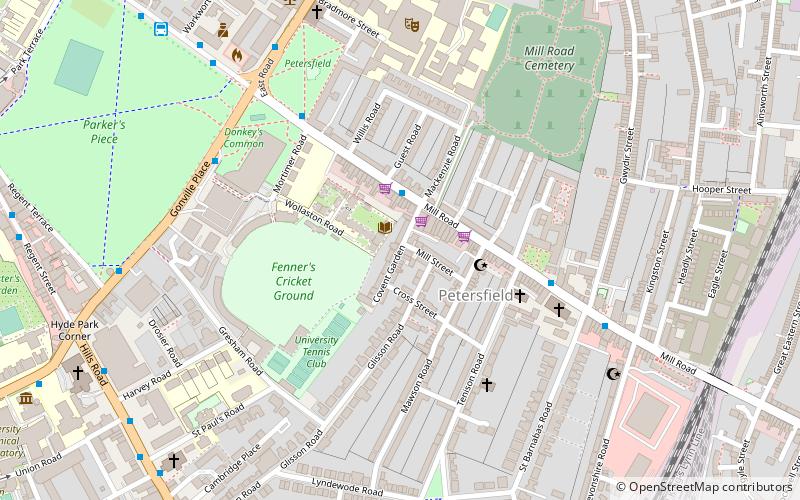
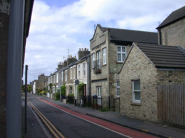
Covent Garden is a street in Cambridge, England, off Mill Road and near The Kite district. The street takes its name from the London market of the same name as there used to be a market garden there. ()
Coordinates: 52°12'1"N, 0°8'4"E
Address
PetersfieldCambridge
ContactAdd
Social media
Add
Day trips
Covent Garden – popular in the area (distance from the attraction)
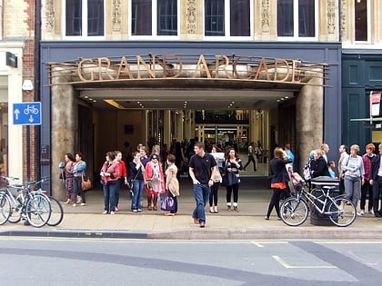
Nearby attractions include: Parker's Piece, Grand Arcade, The Grafton, Cambridge University Botanic Garden.
Frequently Asked Questions (FAQ)
Which popular attractions are close to Covent Garden?
Nearby attractions include Hughes Hall, Cambridge (2 min walk), Mill Road Cemetery, Cambridge (3 min walk), Mill Road, Cambridge (4 min walk), Parker's Piece, Cambridge (4 min walk).
How to get to Covent Garden by public transport?
The nearest stations to Covent Garden:
Bus
Train
Bus
- Gonville Place • Lines: X13 (6 min walk)
- The Busway Parkside • Lines: A, B, D (7 min walk)
Train
- Cambridge (12 min walk)


