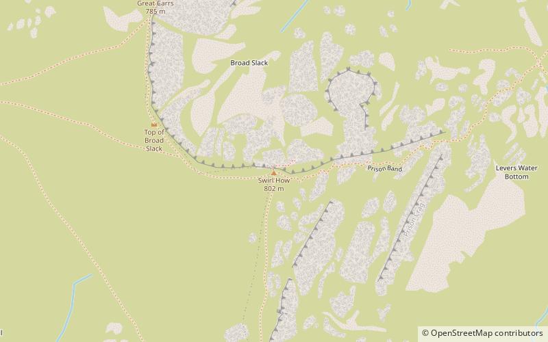
Swirl How, Coniston
Map

Map

Facts and practical information
Swirl How is a fell in the English Lake District. It stands between Coniston and the Duddon Valley in the southern part of the District. It rivals the Old Man of Coniston as the highest point within the traditional County Palatine of Lancashire. ()
Elevation: 2633 ftProminence: 367 ftCoordinates: 54°23'43"N, 3°7'18"W
Address
Coniston
ContactAdd
Social media
Add
Day trips
Swirl How – popular in the area (distance from the attraction)
Nearby attractions include: Levers Water, Brim Fell, Great Carrs, Wetherlam.
Frequently Asked Questions (FAQ)
Which popular attractions are close to Swirl How?
Nearby attractions include Great Carrs, Grasmere (7 min walk), Grey Friar, Grasmere (22 min walk).


