Wetherlam, Grasmere

Gallery (2)
Map
Map
Gallery
Facts and practical information
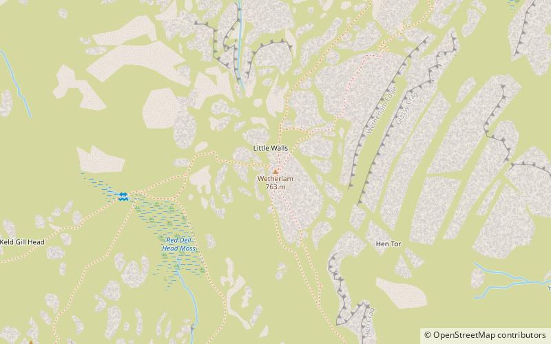
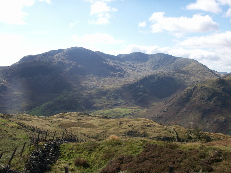
Wetherlam is a mountain in the English Lake District. It is the most northerly of the Coniston Fells, the range of fells to the north-west of Coniston village; its north-east slopes descend to Little Langdale. ()
Elevation: 2503 ftProminence: 476 ftCoordinates: 54°24'2"N, 3°5'53"W
Address
Grasmere
ContactAdd
Social media
Add
Day trips


