Ling Fell, Lake District National Park
Map

Map

Facts and practical information
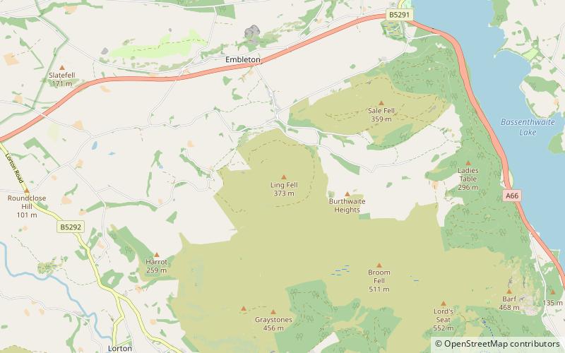
Ling Fell is a small hill in the north west of the Lake District in the United Kingdom. It is close to the village of Wythop Mill, from where it can easily be climbed. The fell is shaped like a wide dome, with no particular dangers. Its name derives from the fact that it is largely covered in heather, also known as "ling". The summit has good views of the town of Cockermouth. ()
Elevation: 1224 ftProminence: 318 ftCoordinates: 54°38'45"N, 3°16'24"W
Address
Lake District National Park
ContactAdd
Social media
Add
Day trips
Ling Fell – popular in the area (distance from the attraction)
Nearby attractions include: Cockermouth Castle, Cockermouth United Reformed Church, Bassenthwaite Lake, St Michael's Church.


