Cardiff Bridge, Cardiff
Map
Gallery
Facts and practical information
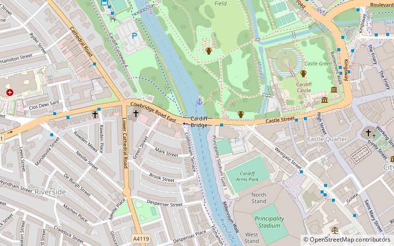
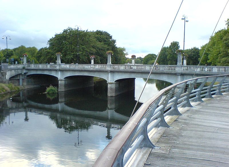
Cardiff Bridge is the road bridge crossing the River Taff at the approximate site of the original river crossing, close to Cardiff Castle in the centre of Cardiff, Wales. ()
Coordinates: 51°28'52"N, 3°11'9"W
Address
Caerdydd Wouth (Ar Lan Yr Afon)Cardiff
ContactAdd
Social media
Add
Day trips
Cardiff Bridge – popular in the area (distance from the attraction)
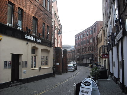
Nearby attractions include: Cardiff Castle, Millennium Stadium, Clwb Ifor Bach, Bute Park.
Frequently Asked Questions (FAQ)
Which popular attractions are close to Cardiff Bridge?
Nearby attractions include Animal Wall, Cardiff (4 min walk), Work of William Burges at Cardiff Castle, Cardiff (4 min walk), Cardiff Arms Park, Cardiff (4 min walk), Bute Park, Cardiff (5 min walk).
How to get to Cardiff Bridge by public transport?
The nearest stations to Cardiff Bridge:
Bus
Train
Bus
- Westgate Street KG • Lines: 8 (7 min walk)
- Sophia Gardens Coach Station (8 min walk)
Train
- Cardiff Central (13 min walk)
- Cathays (16 min walk)


