The Downs, Bristol
Map
Gallery
Facts and practical information
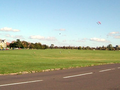
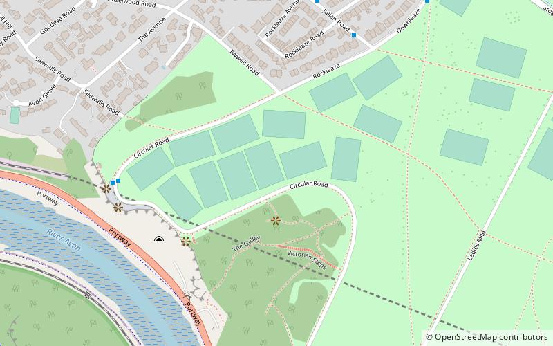
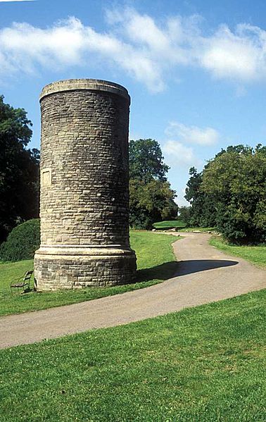
The Downs are an area of public open limestone downland in Bristol, England. They consist of Durdham Down to the north and east and Clifton Down to the south, separated by Stoke Road. ()
Elevation: 285 ft a.s.l.Coordinates: 51°28'12"N, 2°37'48"W
Address
Stoke BishopBristol
ContactAdd
Social media
Add
Day trips
The Downs – popular in the area (distance from the attraction)
Nearby attractions include: Lido, Whiteladies Road, Bristol Zoo, Clifton Suspension Bridge.
Frequently Asked Questions (FAQ)
Which popular attractions are close to The Downs?
Nearby attractions include Clifton Down, Bristol (7 min walk), University of Bristol Botanic Garden, Bristol (15 min walk), Durdham Down, Bristol (15 min walk), Bristol Zoo, Bristol (15 min walk).
How to get to The Downs by public transport?
The nearest stations to The Downs:
Bus
Train
Bus
- The Avenue • Lines: 9 (13 min walk)
- Bristol Zoo • Lines: 8, 9 (13 min walk)
Train
- Clifton Down (23 min walk)
- Sea Mills (28 min walk)


